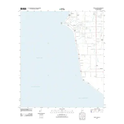
2011 Map of Point Clear
USGS Topo · Published 2011About this map
Great Point Clear juts into the eastern waters of Mobile Bay on this 2011 survey of the Alabama coastline. The map details a landscape where traditional landings like Battles Wharf, Darling Landing, and Bryant Landing meet modern development along the shore. Inland, the rural character of Baldwin County is evident around the community of Barnwell, including the Barnwell Gas Field and the Fairhope Municipal Airport. For genealogists and local historians, several landmarks offer significant research value, including the Twin Beach Cemetery and the Confederate Rest Cemetery. The map also captures the recreational and social geography of the area, featuring the Camp Cullen Summer Camp near the northern boundary. The transition from the developed coastline to the tidal marshes of Bon Secour Bay in the south illustrates the enduring relationship between the community and the Gulf of Mexico.
Find a feature on this map
56 named features on this map. Tap any name to fly to it.
Don’t see what you’re looking for? This feature index may not catch every label — zoom into the map to look around manually.
Map Details
Editions of this 2011 Point Clear Map
This is the sole edition of this map. No revisions or reprints were ever made.
Other maps of this area

1921 · Point Clear
USGS Topo · 1:62,500

1921 · Fairhope
USGS Topo · 1:62,500

1921 · Delchamps
USGS Topo · 1:62,500

1922 · Mobile
USGS Topo · 1:62,500

1939 · Daphne
USGS Topo · 1:31,680

1940 · Silverhill
USGS Topo · 1:31,680

1940 · Hollingers Island
USGS Topo · 1:31,680

1940 · Mobile
USGS Topo · 1:62,500

1941 · Daphne
USGS Topo · 1:31,680

1941 · Silverhill
USGS Topo · 1:31,680