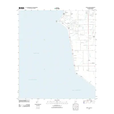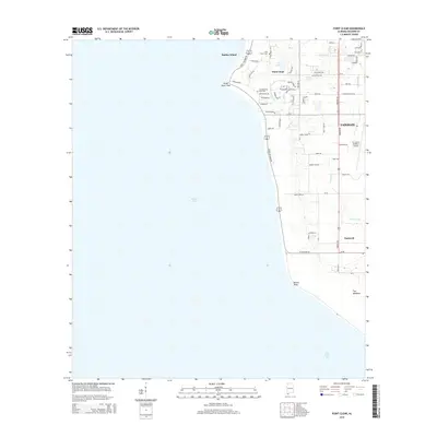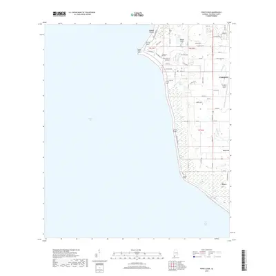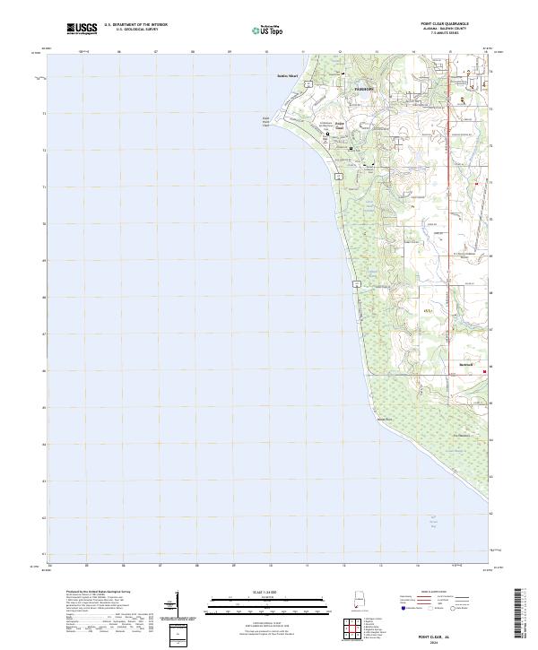
2024 Map of Point Clear
USGS Topo · Published 2024About this map
The coastal village of Point Clear and its surrounding Baldwin County landscape are defined by the transition from the eastern shore of Bon Secour Bay to a interior of drainage basins and low-lying wetlands. Along the shoreline, Battles Wharf and Great Point Clear mark historic points of access and settlement, while the interior is punctuated by several significant burial sites, including the Confederate Rest Memorial Cem and Twin Beech Cem. The land is heavily shaped by water, from the winding Point Clear Creek and Turkey Branch to the distinctively named Ghost Head Swamp and Titi Swamp.
Find a feature on this map
72 named features on this map. Tap any name to fly to it.
Don’t see what you’re looking for? This feature index may not catch every label — zoom into the map to look around manually.
Map Details
Editions of this 2024 Point Clear Map
This is the sole edition of this map. No revisions or reprints were ever made.
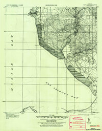
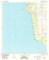
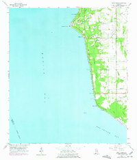
Historical Maps of Fairhope Through Time
8 maps found