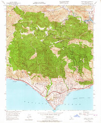
1950 Map of Point Dume
USGS Topo · Published 1964About this map
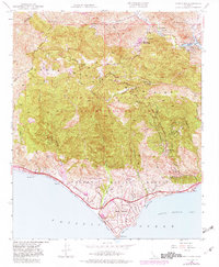
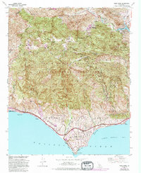
The Santa Monica Mountains dominate this coastal landscape, where deep canyons like Zuma Canyon and Trancas Canyon cut through the high ridges toward the Pacific Ocean. Settlement patterns in the mid-century reflect a mix of rural ranching and early canyon communities, including the Kincaid Ranch and the established Malibu Lake Mtn Club near Cornell. Local infrastructure is anchored by the Mulholland Highway, which winds through the peaks past the Castro Pk Lookout 2824 and down toward the coastal developments.
Find a feature on this map
42 named features on this map. Tap any name to fly to it.
Don’t see what you’re looking for? This feature index may not catch every label — zoom into the map to look around manually.
Map Details
Editions of this 1950 Point Dume Map
6 editions found
Other maps of this area

1900 · Triunfo Pass
USGS Topo · 1:62,500

1903 · Calabasas
USGS Topo · 1:62,500

1903 · Camulos
USGS Topo · 1:125,000

1921 · Triunfo Pass
USGS Topo · 1:62,500

1929 · Dume Point
USGS Topo · 1:24,000

1929 · Vejor
USGS Topo · 1:24,000

1929 · Solstice Canyon
USGS Topo · 1:24,000

1932 · Dume Point
USGS Topo · 1:24,000

1932 · Seminole
USGS Topo · 1:24,000

1932 · Russell Valley
USGS Topo · 1:24,000
Featured Places
- Thousand Oaks, CA
- Malibu, CA
- Westlake Village, CA
- Cornell, Unincorporated Santa Monica Mountains
- Malibu Vista, Unincorporated Santa Monica Mountains