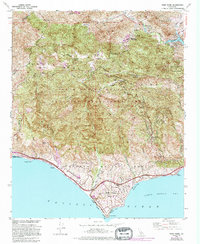
1950 Map of Point Dume
USGS Topo · Published 1995About this map
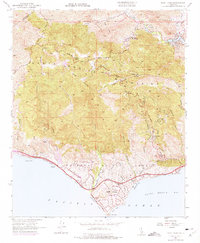
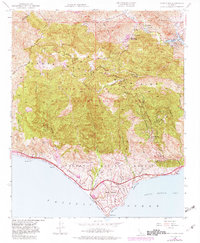
The Santa Monica Mountains dominate this 1950 coastal landscape, where high peaks like Castro Pk drop sharply toward the Pacific. The interior canyons are marked by mid-century leisure and rural outposts, including Seminole Hot Springs, Lake Enchanto, and the community of Cornell. Local education and ranching are anchored by the Cornell Sch and the Kincaid Ranch, showing a sparse settlement pattern before modern suburban expansion. Along the shoreline, development begins to take shape at Malibu Riviera and near the prominent headland of Point Dume. The map captures a transition from agricultural land use and mountain resorts toward the established coastal parklands of today, featuring Zuma Beach County Park and the rugged drainage of Trancas Canyon.
Find a feature on this map
49 named features on this map. Tap any name to fly to it.
Don’t see what you’re looking for? This feature index may not catch every label — zoom into the map to look around manually.
Map Details
Editions of this 1950 Point Dume Map
6 editions found
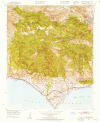
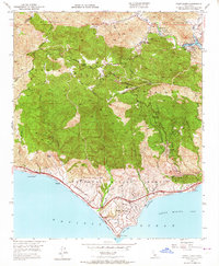
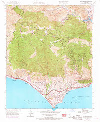
Other maps of this area

1900 · Triunfo Pass
USGS Topo · 1:62,500

1903 · Calabasas
USGS Topo · 1:62,500

1903 · Camulos
USGS Topo · 1:125,000

1921 · Triunfo Pass
USGS Topo · 1:62,500

1929 · Dume Point
USGS Topo · 1:24,000

1929 · Vejor
USGS Topo · 1:24,000

1929 · Solstice Canyon
USGS Topo · 1:24,000

1932 · Dume Point
USGS Topo · 1:24,000

1932 · Seminole
USGS Topo · 1:24,000

1932 · Russell Valley
USGS Topo · 1:24,000
Featured Places
- Thousand Oaks, CA
- Malibu, CA
- Westlake Village, CA
- Cornell, Unincorporated Santa Monica Mountains
- Malibu Vista, Unincorporated Santa Monica Mountains