
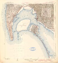
1942 Map of Point Loma
USGS Topo · Published 1942About this map
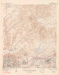
Point Loma and the surrounding San Diego coastline are depicted here just as the United States entered the second World War. This survey by C.P. McKinley captures the heavy military and naval footprint of the era, dominated by the U S Naval Reservation on North Island and the grounds of Fort Rosecrans National Cemetery along the peninsula. The urban grid of San Diego extends through Hillcrest and North Park, featuring the Zoological Park and Morley Field. Across the San Diego Bay, the resort character of Coronado is evident, complete with the Coronado Country Club and the seasonal Tent City along the Silver Strand. Cultural landmarks such as the Theosophical Hdqrs and numerous local schools like Theodore Roosevelt Junior High School provide a look at the established civic life of the region during the early 1940s.
Find a feature on this map
66 named features on this map. Tap any name to fly to it.
Don’t see what you’re looking for? This feature index may not catch every label — zoom into the map to look around manually.
Map Details
Editions of this 1942 Point Loma Map
2 editions found
Other maps of this area

1903 · La Jolla
USGS Topo · 1:62,500

1904 · San Diego
USGS Topo · 1:62,500

1904 · Southern California Sheet No. 2
USGS Topo · 1:250,000

1930 · La Jolla
USGS Topo · 1:62,500

1930 · San Diego
USGS Topo · 1:62,500
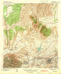
1942 · La Mesa
USGS Topo · 1:31,680

1943 · La Jolla
USGS Topo · 1:31,680
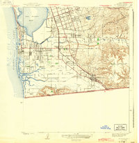
1943 · San Ysidro
USGS Topo · 1:31,680
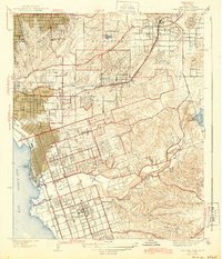
1944 · National City
USGS Topo · 1:31,680
1947 · La Mesa
USGS Topo · 1:24,000