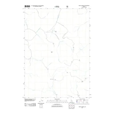
2011 Map of Point Lookout
USGS Topo · Published 2011About this map
Mount Baldy and the prominent height of Point Lookout anchor this high-elevation landscape in Bonneville County, where a complex network of drainages defines the terrain. The map records a geography shaped by water and timber, with names like Sawmill Creek and Pritchard Creek suggesting the historic resource-based activities of the region. The transport network is primarily comprised of forest development routes, such as Natl Forest Develop Road 385 Rd and Trail Creek, which navigate the deep valleys and ridges. From the secluded basin of Ballys Hole to the sweeping descent of Big Dry Hollow, this 2011 survey captures the hydrological patterns of the Idaho backcountry, including the headwaters of Antelope Creek and the southern flow of Peterson Creek.
Find a feature on this map
30 named features on this map. Tap any name to fly to it.
Don’t see what you’re looking for? This feature index may not catch every label — zoom into the map to look around manually.
Map Details
Editions of this 2011 Point Lookout Map
This is the sole edition of this map. No revisions or reprints were ever made.
Other maps of this area

1924 · Hell Creek
USGS Topo · 1:62,500

1926 · Hell Creek
USGS Topo · 1:62,500

1932 · Irwin
USGS Topo · 1:96,000

1935 · Irwin
USGS Topo · 1:125,000

1943 · Garns Mtn
USGS Topo · 1:62,500

1946 · Garns Mtn
USGS Topo · 1:62,500

1951 · Poplar
USGS Topo · 1:24,000

1951 · Heise SE
USGS Topo · 1:24,000

1955 · Driggs
USGS Topo · 1:250,000

1958 · Driggs
USGS Topo · 1:250,000