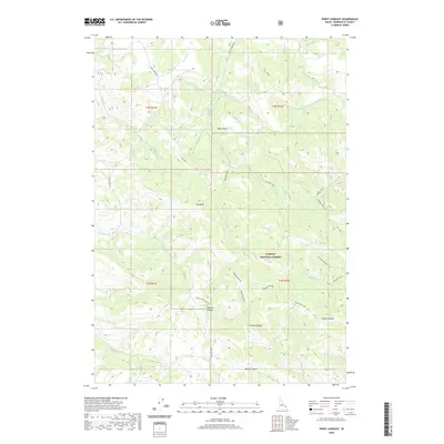
2020 Map of Point Lookout
USGS Topo · Published 2020About this map
Caribou National Forest dominates this section of the Caribou Range, where high-elevation drainage patterns define the landscape of eastern Idaho. The map reveals a complex network of waterways, including Antelope Cr, Pritchard Creek, and Garden Creek, which carve through the terrain beneath landmarks like Mt Baldy and the high summit of Point Lookout. Human activity in these mountains is traced through seasonal access routes such as Trail Creek Rd and the Stucki By-Pass. A notable area of interest is the Big Dry Hollow mining or geographical site, alongside hidden landscape features like Ballys Hole and Blacktail Canyon. The survey illustrates the intersection of natural topography and forest management, where small canyons like Bates Canyon provide corridors through the steep ridgelines.
Find a feature on this map
41 named features on this map. Tap any name to fly to it.
Don’t see what you’re looking for? This feature index may not catch every label — zoom into the map to look around manually.
Map Details
Editions of this 2020 Point Lookout Map
This is the sole edition of this map. No revisions or reprints were ever made.
Other maps of this area

1924 · Hell Creek
USGS Topo · 1:62,500

1926 · Hell Creek
USGS Topo · 1:62,500

1932 · Irwin
USGS Topo · 1:96,000

1935 · Irwin
USGS Topo · 1:125,000

1943 · Garns Mtn
USGS Topo · 1:62,500

1946 · Garns Mtn
USGS Topo · 1:62,500

1951 · Poplar
USGS Topo · 1:24,000

1951 · Heise SE
USGS Topo · 1:24,000

1955 · Driggs
USGS Topo · 1:250,000

1958 · Driggs
USGS Topo · 1:250,000