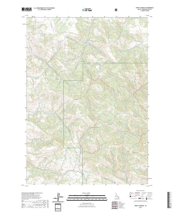
2023 Map of Point Lookout
USGS Topo · Published 2023About this map
The Caribou Range dominates this portion of the Caribou National Forest, where a complex network of high-elevation drainages and ridgelines defines the landscape. Named summits like Mt Baldy and the prominent Point Lookout provide significant vantage points over a territory etched by seasonal and perennial waters. The drainage patterns are intricate, with Tex Creek and Pritchard Creek collecting flow from numerous named tributaries such as Indian Fork, Carlisle Creek, and Gibson Creek.
Find a feature on this map
38 named features on this map. Tap any name to fly to it.
Don’t see what you’re looking for? This feature index may not catch every label — zoom into the map to look around manually.
Map Details
Editions of this 2023 Point Lookout Map
This is the sole edition of this map. No revisions or reprints were ever made.
Other maps of this area

1924 · Hell Creek
USGS Topo · 1:62,500

1926 · Hell Creek
USGS Topo · 1:62,500

1932 · Irwin
USGS Topo · 1:96,000

1935 · Irwin
USGS Topo · 1:125,000

1943 · Garns Mtn
USGS Topo · 1:62,500

1946 · Garns Mtn
USGS Topo · 1:62,500

1951 · Poplar
USGS Topo · 1:24,000

1951 · Heise SE
USGS Topo · 1:24,000

1955 · Driggs
USGS Topo · 1:250,000

1958 · Driggs
USGS Topo · 1:250,000