2023 Map of Point Lookout
USGS Topo · Published 2023About this map
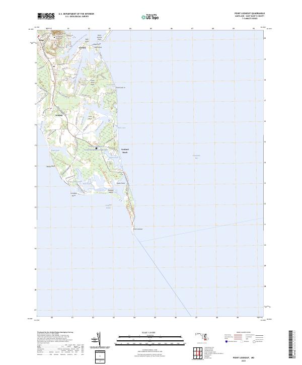
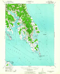
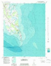
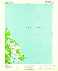
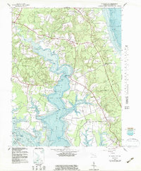
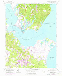
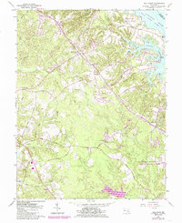
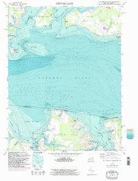
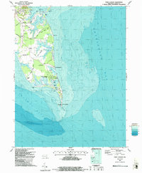
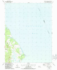
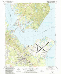
Saint Michael Parish Cem serves as a central landmark for the community of Ridge, situated where the Chesapeake Bay meets the Potomac River. The peninsula narrows significantly as it moves south through Scotland and toward the tip at Point Lookout, a landscape defined by intricate tidal inlets and necks. Named features like Fresh Pond Neck and Long Neck illustrate the fragmented nature of this coastal margin, where small settlements like Airedele and Scotland Beach are bounded by the Northern Prong Saint Jerome Creek and the Southern Prong Saint Jerome Creek. The map records a complex network of wetlands and small water bodies, including Hollis Lake and Hall Pond, which separate the mainland from distinctive landforms like Treasure Island and Cornfield Point. These features indicate a long history of maritime reliance and seasonal land use at the southern terminus of Saint Mary's County.
Find a feature on this map
65 named features on this map. Tap any name to fly to it.
Don’t see what you’re looking for? This feature index may not catch every label — zoom into the map to look around manually.
Map Details
Editions of this 2023 Point Lookout Map
This is the sole edition of this map. No revisions or reprints were ever made.
Historical Maps of Airedele Through Time
25 maps found
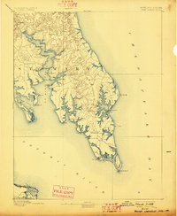
1894 Point Lookout
St. Mary's County, MD

1895 Nomini
St. Mary's County, MD
1898 Nomini
St. Mary's County, MD
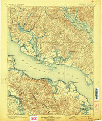
1912 Point Lookout
St. Mary's County, MD
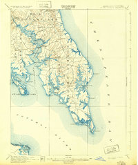
1937 Point Lookout
St. Mary's County, MD
1942 Point Lookout
St. Mary's County, MD
1943 Blakiston Island
St. Mary's County, MD
1943 Point Lookout
St. Mary's County, MD
1943 Point No Point
St. Mary's County, MD
1943 St. Marys City
St. Mary's County, MD
1944 Solomons Island
St. Mary's County, MD
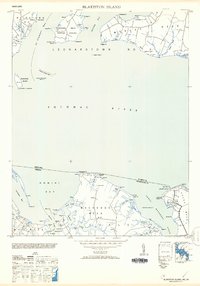
1953 Blakiston Island
St. Mary's County, MD
1963 Hollywood
St. Mary's County, MD
1968 St. Clements Island
St. Mary's County, MD
1987 Point Lookout
St. Mary's County, MD
1987 Point No Point
St. Mary's County, MD
1987 Solomons Island
St. Mary's County, MD
1987 St. Marys City
St. Mary's County, MD
2023 Hollywood
St. Mary's County, MD
2023 Point Lookout
St. Mary's County, MD
2023 Point No Point
St. Mary's County, MD
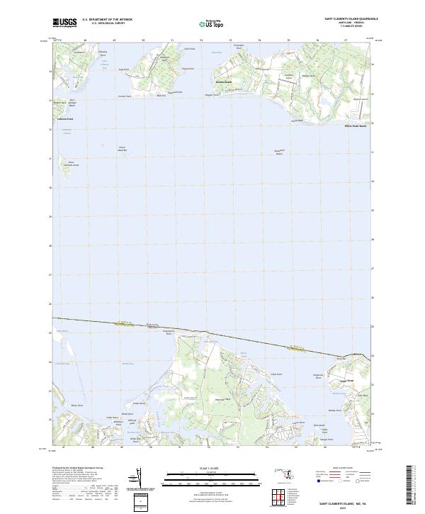
2023 Saint Clements Island
St. Mary's County, MD
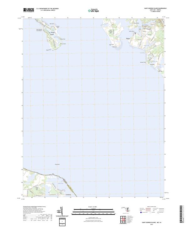
2023 Saint George Island
St. Mary's County, MD
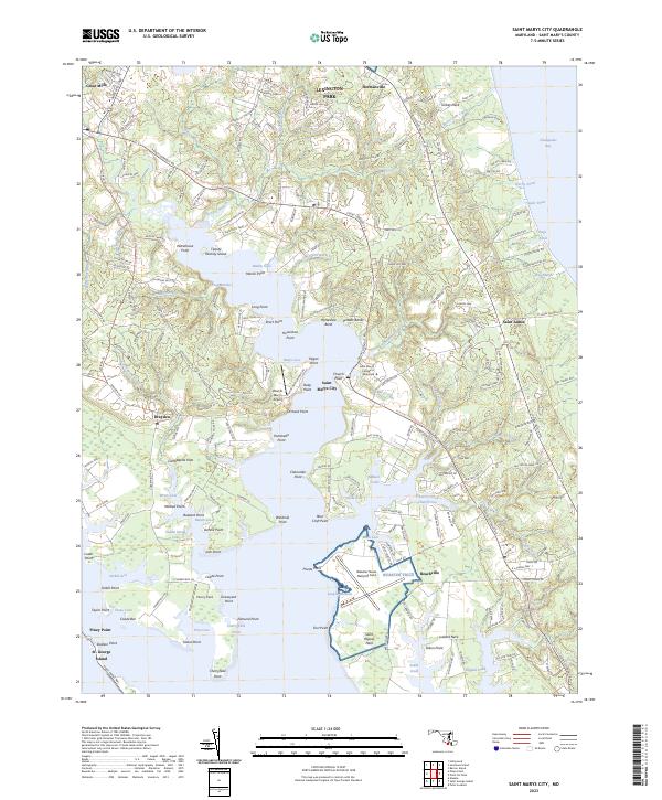
2023 Saint Marys City
St. Mary's County, MD
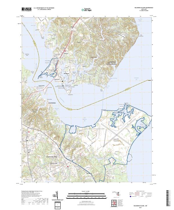
2023 Solomons Island
St. Mary's County, MD