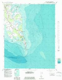
1942 Map of Point Lookout
USGS Topo · Published 1983About this map
Point Lookout marks the southern tip of the St. Mary's peninsula where the Potomac River meets the Chesapeake Bay. This 1942 survey shows a coastal landscape dominated by deep inlets and marshy necks, including Fresh Pond Neck and Deep Creek Neck. The small community of Ridge serves as the inland hub, home to St Michael Cem and Ridge Chapel, while the settlement of Scotland sits further south toward the bay.
Find a feature on this map
38 named features on this map. Tap any name to fly to it.
Don’t see what you’re looking for? This feature index may not catch every label — zoom into the map to look around manually.
Map Details
Editions of this 1942 Point Lookout Map
2 editions found
Other maps of this area

1894 · Point Lookout
USGS Topo · 1:62,500

1898 · St. Marys
USGS Topo · 1:125,000

1903 · Bloodsworth Island
USGS Topo · 1:62,500

1906 · St. Marys
USGS Topo · 1:125,000

1912 · Point Lookout
USGS Topo · 1:62,500

1917 · Heathsville
USGS Topo · 1:48,000

1917 · Ewell
USGS Topo · 1:62,500

1937 · Point Lookout
USGS Topo · 1:62,500

1942 · Richland Point
USGS Topo · 1:24,000
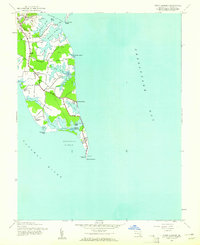
1942 · Point Lookout
USGS Topo · 1:24,000