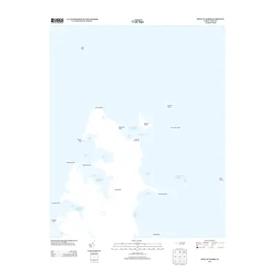
2013 Map of Point of Marsh
USGS Topo · Published 2013About this map
Point of Marsh and its surrounding coastal labyrinth define this landscape where the Atlantic Ocean meets a complex network of bays and sounds. The map illustrates a transitional marine environment dominated by shifting landforms such as Rattan Spit and numerous named points including Hammock Point, Westward Point, and Mulberry Point. Navigational aids like the Point of Marsh Light and Cedar Island Bay Light underscore the maritime significance of these waters, which are segmented into distinct basins like North Bay, East Bay, and South Bay. This cartographic record is particularly valuable for documenting the precise shoreline of islands such as Big Swan Island and Raccoon Island, providing a benchmark for coastal change and wetland morphology in this part of North Carolina.
Find a feature on this map
29 named features on this map. Tap any name to fly to it.
Don’t see what you’re looking for? This feature index may not catch every label — zoom into the map to look around manually.
Map Details
Editions of this 2013 Point of Marsh Map
This is the sole edition of this map. No revisions or reprints were ever made.
Other maps of this area

1948 · North Bay
USGS Topo · 1:24,000

1949 · Atlantic
USGS Topo · 1:24,000

1949 · Point Of Marsh
USGS Topo · 1:24,000

1949 · Long Bay
USGS Topo · 1:24,000

1949 · South River
USGS Topo · 1:24,000

1950 · Long Bay
USGS Topo · 1:24,000

1950 · South River
USGS Topo · 1:24,000

1950 · North Bay
USGS Topo · 1:24,000

1950 · Point Of Marsh
USGS Topo · 1:24,000

1950 · Jones Bay
USGS Topo · 1:24,000