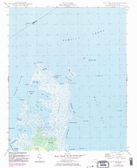
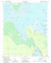
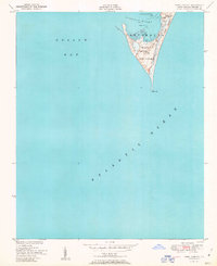
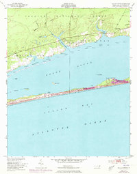
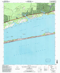
1949 Map of Point Of Marsh
USGS Topo · Published 1983About this map
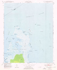
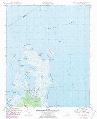
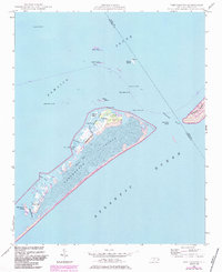
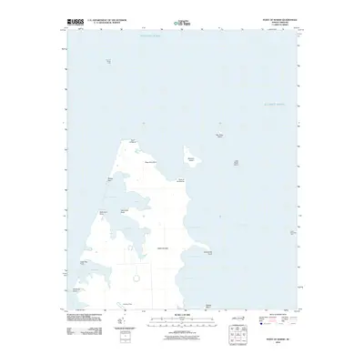
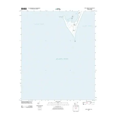
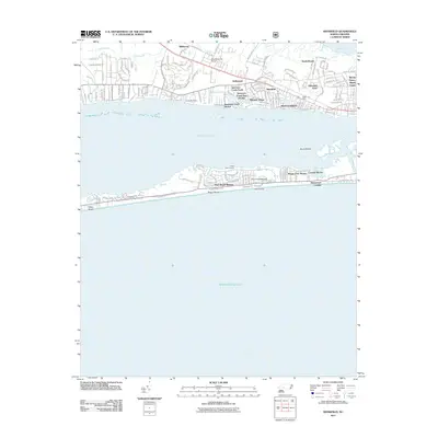
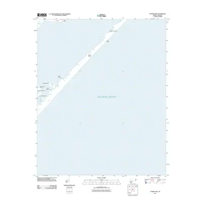
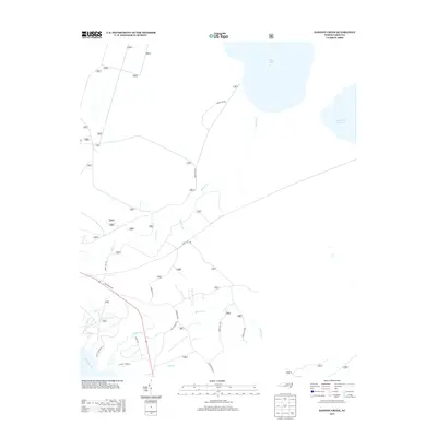
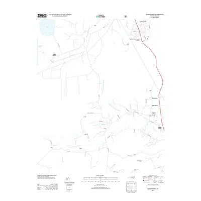
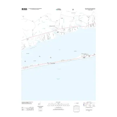
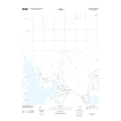
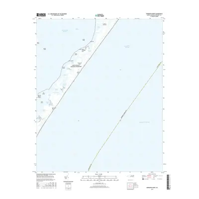
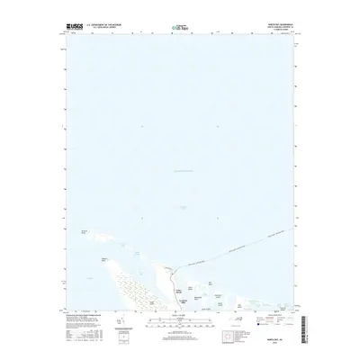
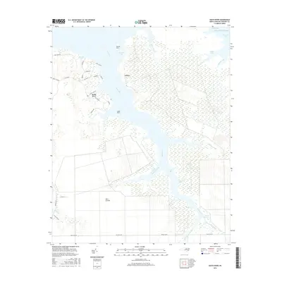
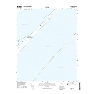
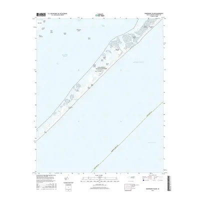
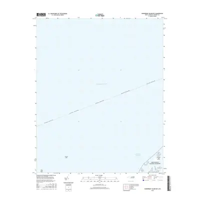
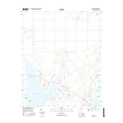
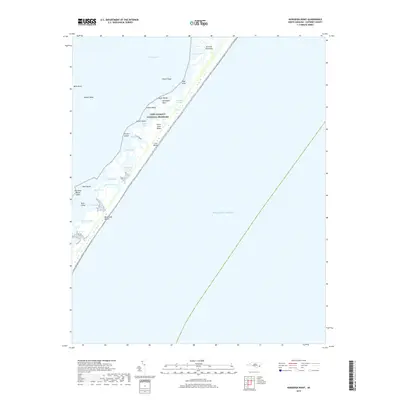
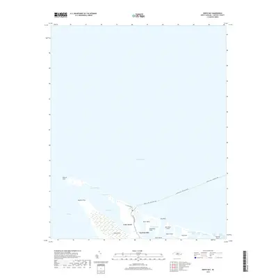
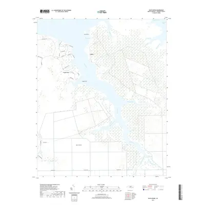
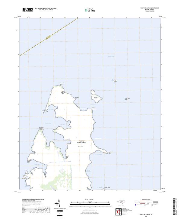
Piney Island dominates this coastal landscape where the Neuse River meets Pamlico Sound. This maritime environment is defined by complex shorelines and intricate water bodies, from the sheltered Henry Hills Harbor to the sweeping Meredith Bend. The interior of the island contains a Landing Strip, reflecting mid-century aviation infrastructure in this remote wetland. Maritime navigation is a clear priority, evidenced by the Point of Marsh Lt o and the Cedar Island Bay Lt o positioned to guide vessels through the coastal sound. The map details numerous named points and coves, such as Peters Cove and Hammock Point, illustrating how local geography was identified by fishermen and mariners. To the east, smaller landforms like Big Swan Island and Little Swan Island dot the expanse of West Bay.
Find a feature on this map
42 named features on this map. Tap any name to fly to it.
Don’t see what you’re looking for? This feature index may not catch every label — zoom into the map to look around manually.
Map Details
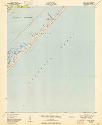
Editions of this 1949 Point Of Marsh Map
3 editions found
Historical Maps of Carteret County Through Time
111 maps found

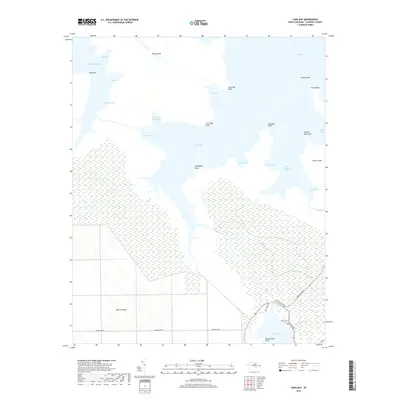
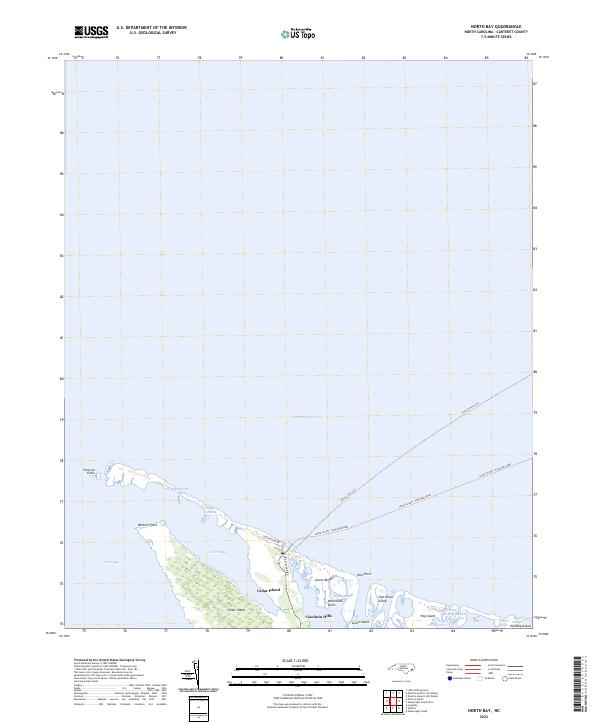
1948 North Bay
Carteret County, NC
1948 Portsmouth
Carteret County, NC

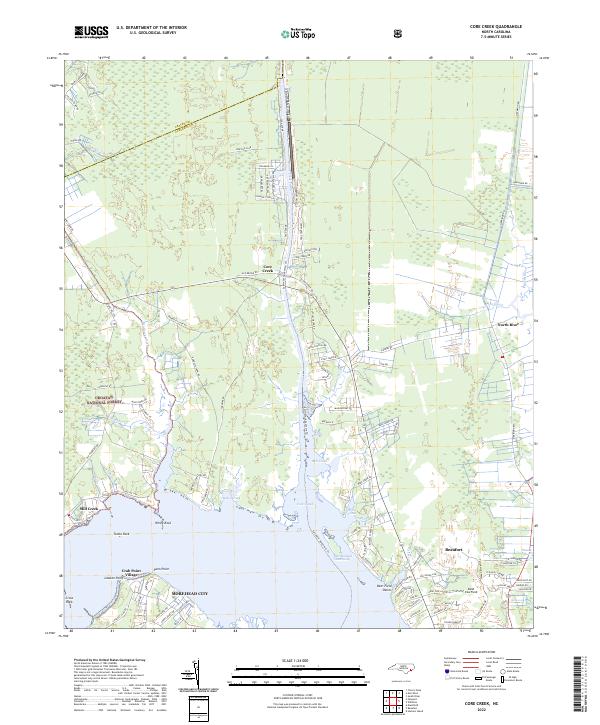
1949 Core Creek
Carteret County, NC
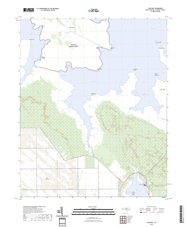
1949 Long Bay
Carteret County, NC

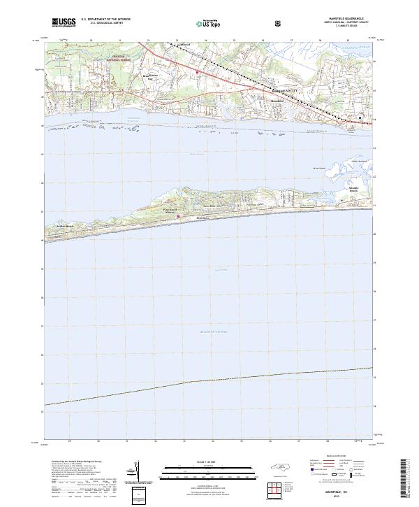
1949 Mansfield
Carteret County, NC

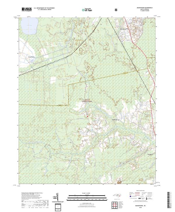
1949 Masontown
Carteret County, NC
1949 Point Of Marsh
Carteret County, NC

1949 Salter Path
Carteret County, NC

1949 South River
Carteret County, NC
1949 Styron Bay
Carteret County, NC

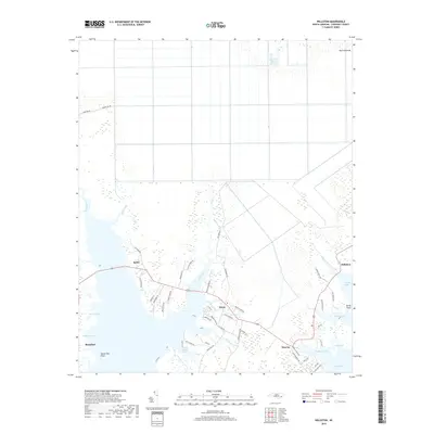
1949 Williston
Carteret County, NC

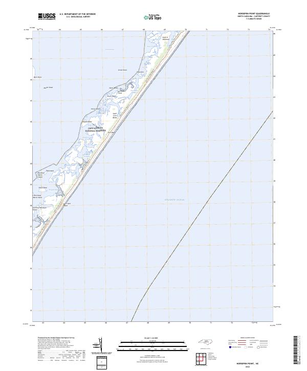
1950 Horsepen Point
Carteret County, NC
1950 Long Bay
Carteret County, NC

1950 North Bay
Carteret County, NC

1950 Point Of Marsh
Carteret County, NC
1950 Portsmouth
Carteret County, NC

1950 South River
Carteret County, NC
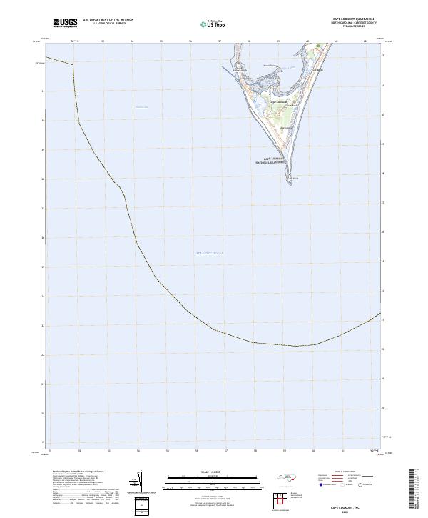
1951 Cape Lookout
Carteret County, NC
1951 Core Creek
Carteret County, NC
1951 Mansfield
Carteret County, NC
1951 Masontown
Carteret County, NC
1951 Salter Path
Carteret County, NC
1951 Styron Bay
Carteret County, NC

1951 Williston
Carteret County, NC

1984 Hadnot Creek
Carteret County, NC

1994 Core Creek
Carteret County, NC
1994 Hadnot Creek
Carteret County, NC
1994 Mansfield
Carteret County, NC

1994 Masontown
Carteret County, NC
1994 Salter Path
Carteret County, NC
2002 North Bay
Carteret County, NC
2010 Long Bay
Carteret County, NC
2010 North Bay
Carteret County, NC
2010 Point of Marsh
Carteret County, NC
2010 South River
Carteret County, NC
2010 Wainwright Island
Carteret County, NC
2010 Williston
Carteret County, NC
2011 Cape Lookout
Carteret County, NC
2011 Core Creek
Carteret County, NC
2011 Hadnot Creek
Carteret County, NC
2011 Horsepen Point
Carteret County, NC
2011 Mansfield
Carteret County, NC
2011 Masontown
Carteret County, NC
2011 Portsmouth
Carteret County, NC
2011 Salter Path
Carteret County, NC
2011 Styron Bay
Carteret County, NC
2011 Wainwright Island OE N
Carteret County, NC
2013 Cape Lookout
Carteret County, NC
2013 Core Creek
Carteret County, NC
2013 Hadnot Creek
Carteret County, NC
2013 Horsepen Point
Carteret County, NC
2013 Long Bay
Carteret County, NC
2013 Mansfield
Carteret County, NC
2013 Masontown
Carteret County, NC
2013 North Bay
Carteret County, NC
2013 Point of Marsh
Carteret County, NC
2013 Portsmouth
Carteret County, NC
2013 Salter Path
Carteret County, NC
2013 South River
Carteret County, NC

2013 Styron Bay
Carteret County, NC
2013 Wainwright Island
Carteret County, NC
2013 Wainwright Island OE N
Carteret County, NC
2013 Williston
Carteret County, NC
2016 Cape Lookout
Carteret County, NC
2016 Core Creek
Carteret County, NC
2016 Hadnot Creek
Carteret County, NC
2016 Horsepen Point
Carteret County, NC
2016 Long Bay
Carteret County, NC
2016 Mansfield
Carteret County, NC
2016 Masontown
Carteret County, NC
2016 North Bay
Carteret County, NC
2016 Point of Marsh
Carteret County, NC
2016 Portsmouth
Carteret County, NC
2016 Salter Path
Carteret County, NC
2016 South River
Carteret County, NC
2016 Styron Bay
Carteret County, NC
2016 Wainwright Island
Carteret County, NC
2016 Wainwright Island OE N
Carteret County, NC
2016 Williston
Carteret County, NC
2019 Cape Lookout
Carteret County, NC
2019 Core Creek
Carteret County, NC
2019 Hadnot Creek
Carteret County, NC
2019 Horsepen Point
Carteret County, NC
2019 Long Bay
Carteret County, NC
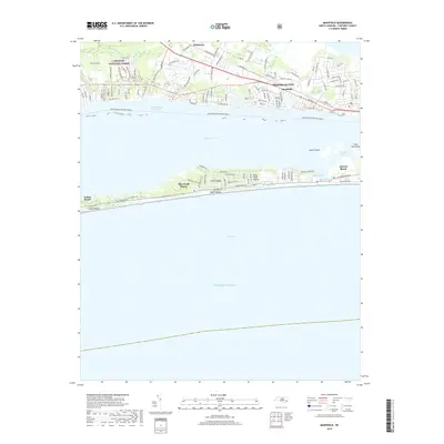
2019 Mansfield
Carteret County, NC
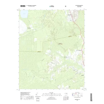
2019 Masontown
Carteret County, NC
2019 North Bay
Carteret County, NC
2019 Point of Marsh
Carteret County, NC
2019 Portsmouth
Carteret County, NC
2019 Salter Path
Carteret County, NC
2019 South River
Carteret County, NC
2019 Styron Bay
Carteret County, NC
2019 Wainwright Island
Carteret County, NC
2019 Wainwright Island OE N
Carteret County, NC
2019 Williston
Carteret County, NC
2022 Cape Lookout
Carteret County, NC
2022 Core Creek
Carteret County, NC

2022 Hadnot Creek
Carteret County, NC
2022 Horsepen Point
Carteret County, NC
2022 Long Bay
Carteret County, NC
2022 Mansfield
Carteret County, NC
2022 Masontown
Carteret County, NC
2022 North Bay
Carteret County, NC
2022 Point of Marsh
Carteret County, NC
2022 Portsmouth
Carteret County, NC
2022 Salter Path
Carteret County, NC
2022 South River
Carteret County, NC
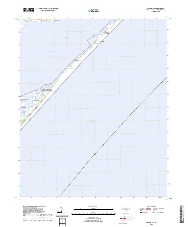
2022 Styron Bay
Carteret County, NC
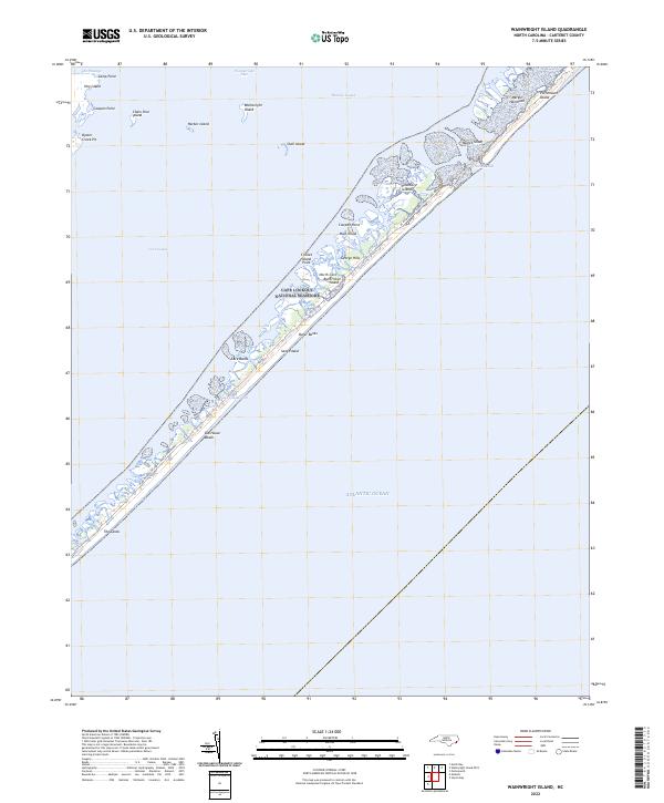
2022 Wainwright Island
Carteret County, NC
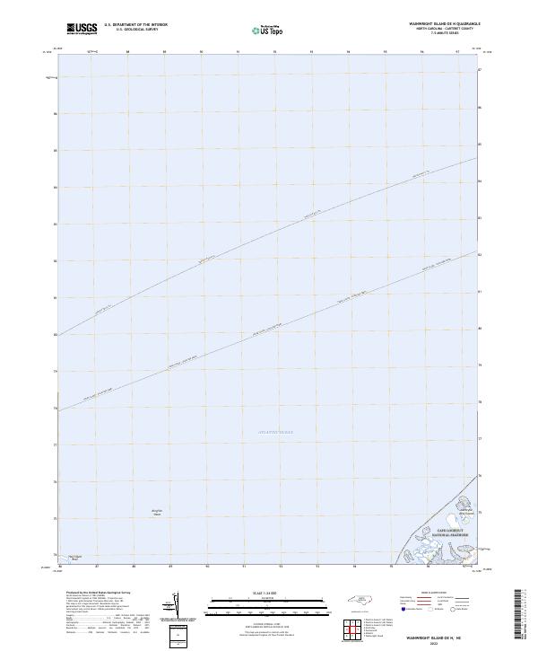
2022 Wainwright Island OE N
Carteret County, NC
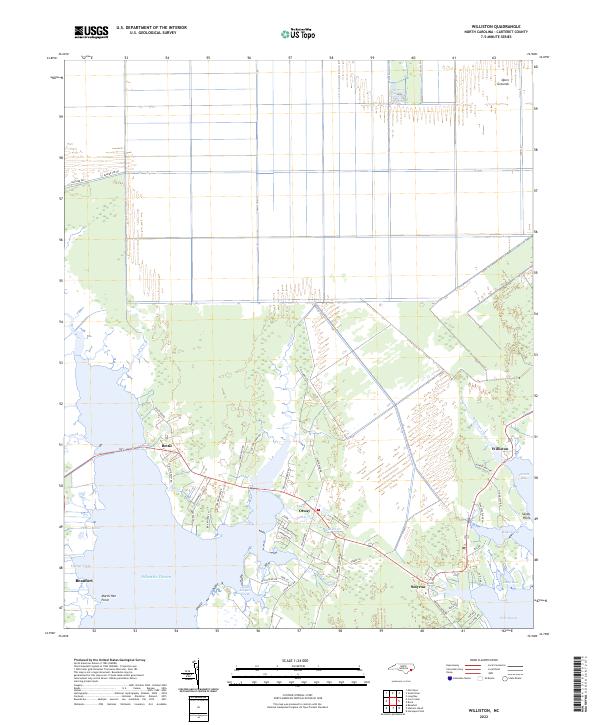
2022 Williston
Carteret County, NC