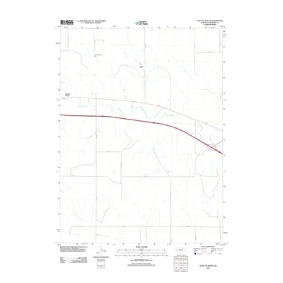
2011 Map of Point of Rocks
USGS Topo · Published 2011About this map
Point of Rocks serves as a prominent natural landmark in the western Nebraska panhandle, overseeing a landscape defined by the drainage of Lodgepole Creek. This 2011 survey illustrates a sparse ranching and agricultural region where water management is critical, evidenced by the Herboldshheimer Dam and Nelson Dam. The map reveals a strict section-line road grid, including Road 24 and Road 20, which organizes the territory between major transit corridors. This era captures the area's transition into the 21st century, maintaining its rural character while supporting modern infrastructure that follows the historical paths carved by water and early western migration.
Find a feature on this map
15 named features on this map. Tap any name to fly to it.
Don’t see what you’re looking for? This feature index may not catch every label — zoom into the map to look around manually.
Map Details
Editions of this 2011 Point of Rocks Map
This is the sole edition of this map. No revisions or reprints were ever made.
Other maps of this area

1954 · Scottsbluff
USGS Topo · 1:250,000

1958 · Scottsbluff
USGS Topo · 1:250,000

1972 · Mud Springs SW
USGS Topo · 1:24,000

1972 · Easterly Airport
USGS Topo · 1:24,000

1972 · Lorenzo
USGS Topo · 1:24,000

1972 · Point Of Rocks
USGS Topo · 1:24,000

1972 · Brownson
USGS Topo · 1:24,000

1972 · Mud Springs SE
USGS Topo · 1:24,000

1972 · Potter SE
USGS Topo · 1:24,000

1972 · Potter
USGS Topo · 1:24,000