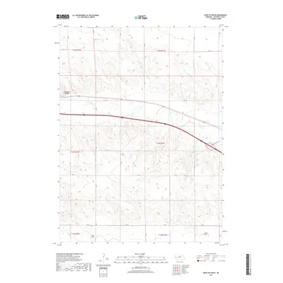
2017 Map of Point of Rocks
USGS Topo · Published 2017About this map
Point of Rocks stands as the primary landmark in this western Nebraska landscape, characterized by the winding path of Lodgepole Cr through the high plains of Cheyenne County. The terrain is marked by significant ephemeral drainages, including Sidney Draw in the southeast and Sand Draw near the southern boundary, which reflect the region's semi-arid character and historical importance as natural corridors. Transport through this area is anchored by the State Hwy 17c (Link), which mirrors the valley's orientation. The map provides a detailed view of the Public Land Survey System grid, with several townships like t14n r51w and t15n r52w defining the administrative and ranching boundaries. This layout illustrates the structured division of land that facilitated agricultural development and property ownership in the early 21st century.
Find a feature on this map
22 named features on this map. Tap any name to fly to it.
Don’t see what you’re looking for? This feature index may not catch every label — zoom into the map to look around manually.
Map Details
Editions of this 2017 Point of Rocks Map
This is the sole edition of this map. No revisions or reprints were ever made.
Other maps of this area

1954 · Scottsbluff
USGS Topo · 1:250,000

1958 · Scottsbluff
USGS Topo · 1:250,000

1972 · Mud Springs SW
USGS Topo · 1:24,000

1972 · Easterly Airport
USGS Topo · 1:24,000

1972 · Lorenzo
USGS Topo · 1:24,000

1972 · Point Of Rocks
USGS Topo · 1:24,000

1972 · Brownson
USGS Topo · 1:24,000

1972 · Mud Springs SE
USGS Topo · 1:24,000

1972 · Potter SE
USGS Topo · 1:24,000

1972 · Potter
USGS Topo · 1:24,000