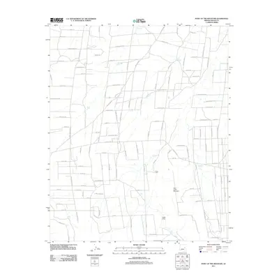
2011 Map of Point of the Mountain
USGS Topo · Published 2011About this map
Point of the Mountain rises above a landscape defined by ranching infrastructure and intermittent water management in Navajo County. This area reveals a complex network of private access roads and trails, such as Ledger Ranch Trl and Rockin R Ranch Trl, which service the remote rangelands. The presence of Winter Camp suggests the seasonal nature of historical land use here, while the numerous man-made catchments like Jim Dandy Tank, Nick and Nora Tank, and Crescent Tank highlight the necessity of capturing runoff in this arid environment.
Find a feature on this map
95 named features on this map. Tap any name to fly to it.
Don’t see what you’re looking for? This feature index may not catch every label — zoom into the map to look around manually.
Map Details
Editions of this 2011 Point of the Mountain Map
This is the sole edition of this map. No revisions or reprints were ever made.
Other maps of this area

1886 · St Johns
USGS Topo · 1:250,000

1886 · Holbrook
USGS Topo · 1:250,000

1892 · St Johns
USGS Topo · 1:250,000

1893 · Holbrook
USGS Topo · 1:250,000

1954 · Holbrook
USGS Topo · 1:250,000

1954 · Saint Johns
USGS Topo · 1:250,000

1955 · Adamana 3 NE
USGS Topo · 1:24,000

1955 · Adamana 3 SE
USGS Topo · 1:24,000

1957 · Holbrook
USGS Topo · 1:250,000

1957 · Saint Johns
USGS Topo · 1:250,000