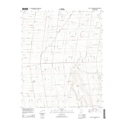
2014 Map of Point of the Mountain
USGS Topo · Published 2014About this map
Point of the Mountain rises above a high-desert landscape defined by a network of ranching roads and water management features in Navajo County. The small settlement of Hay Hollow sits west of the dramatic Point of the Mountain landform, near the confluence of Hay Hollow Draw and Hatch Draw. The map reveals a specialized environment of livestock infrastructure, where named water catchments like Nick and Nora Tank, Crescent Tank, and Shelf Tank are the primary landmarks. An extensive grid of roads and trails, including Ledger Ranch Trl and Rockin R Ranch Trl, provides access to these remote desert rangelands. The presence of the Old School Bus Trl suggests the historical necessity of transport in this sparsely populated region, while the Power Line Trce cuts a straight path through the township sections.
Find a feature on this map
62 named features on this map. Tap any name to fly to it.
Don’t see what you’re looking for? This feature index may not catch every label — zoom into the map to look around manually.
Map Details
Editions of this 2014 Point of the Mountain Map
This is the sole edition of this map. No revisions or reprints were ever made.
Other maps of this area

1886 · St Johns
USGS Topo · 1:250,000

1886 · Holbrook
USGS Topo · 1:250,000

1892 · St Johns
USGS Topo · 1:250,000

1893 · Holbrook
USGS Topo · 1:250,000

1954 · Holbrook
USGS Topo · 1:250,000

1954 · Saint Johns
USGS Topo · 1:250,000

1955 · Adamana 3 NE
USGS Topo · 1:24,000

1955 · Adamana 3 SE
USGS Topo · 1:24,000

1957 · Holbrook
USGS Topo · 1:250,000

1957 · Saint Johns
USGS Topo · 1:250,000