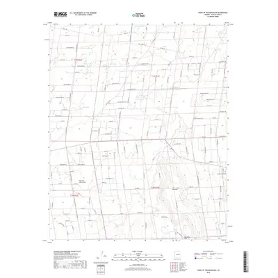
2018 Map of Point of the Mountain
USGS Topo · Published 2018About this map
Hay Hollow and its eponymous Hay Hollow Draw characterize this landscape in Navajo County, defined by a complex network of ranch roads and water catchment systems. The prominent Point-of-the Mountain rises above the drainage basins of West Hay Hollow Draw and Hatch Draw. The reliance on local water sources is evident in the numerous named tanks scattered across the townships, such as Jim Dandy Tank, Nick and Nora Tank, and Crescent Tank. This 2018 survey reveals a modern ranching geography where trails like Kasias Trl and Ledger Ranch Trl connect various holdings. Cultural landmarks and family-named roads like Watson Rd and Stumbo Rd weave through the terrain, illustrating the contemporary layout of this high-desert region south of the Little Colorado River valley.
Find a feature on this map
58 named features on this map. Tap any name to fly to it.
Don’t see what you’re looking for? This feature index may not catch every label — zoom into the map to look around manually.
Map Details
Editions of this 2018 Point of the Mountain Map
This is the sole edition of this map. No revisions or reprints were ever made.
Other maps of this area

1886 · St Johns
USGS Topo · 1:250,000

1886 · Holbrook
USGS Topo · 1:250,000

1892 · St Johns
USGS Topo · 1:250,000

1893 · Holbrook
USGS Topo · 1:250,000

1954 · Holbrook
USGS Topo · 1:250,000

1954 · Saint Johns
USGS Topo · 1:250,000

1955 · Adamana 3 NE
USGS Topo · 1:24,000

1955 · Adamana 3 SE
USGS Topo · 1:24,000

1957 · Holbrook
USGS Topo · 1:250,000

1957 · Saint Johns
USGS Topo · 1:250,000