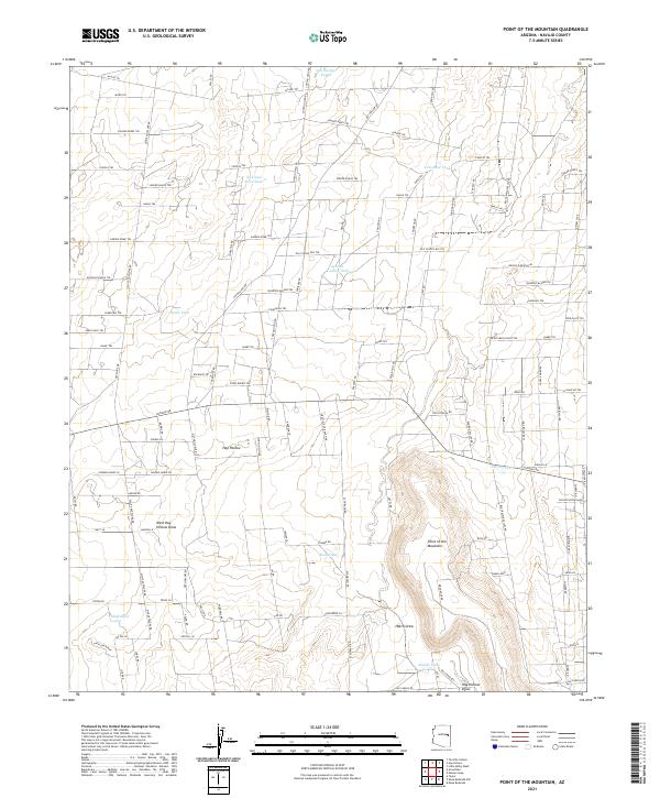
2021 Map of Point of the Mountain
USGS Topo · Published 2021About this map
Hay Hollow sits at the center of this Navajo County landscape, defined by a network of ranch roads and specialized water catchments. The terrain is marked by the prominent Point-of-the-Mountain and the rising elevation of Antelope Ridge to the southwest. This 2021 survey reveals a modern ranching geography where named water tanks like Jim Dandy Tank, Nick and Nora Tank, and Crescent Tank serve as critical landmarks for navigation and land use in an arid environment.
Find a feature on this map
101 named features on this map. Tap any name to fly to it.
Don’t see what you’re looking for? This feature index may not catch every label — zoom into the map to look around manually.
Map Details
Editions of this 2021 Point of the Mountain Map
This is the sole edition of this map. No revisions or reprints were ever made.
Other maps of this area

1886 · St Johns
USGS Topo · 1:250,000

1886 · Holbrook
USGS Topo · 1:250,000

1892 · St Johns
USGS Topo · 1:250,000

1893 · Holbrook
USGS Topo · 1:250,000

1954 · Holbrook
USGS Topo · 1:250,000

1954 · Saint Johns
USGS Topo · 1:250,000

1955 · Adamana 3 NE
USGS Topo · 1:24,000

1955 · Adamana 3 SE
USGS Topo · 1:24,000

1957 · Holbrook
USGS Topo · 1:250,000

1957 · Saint Johns
USGS Topo · 1:250,000