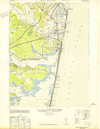
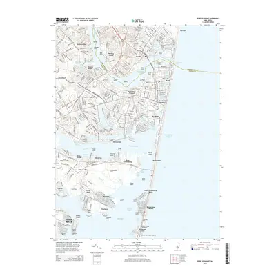
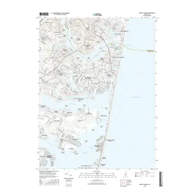
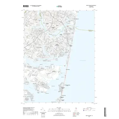
1953 Map of Point Pleasant
USGS Topo · Published 1981About this map
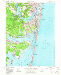
The Manasquan River and Barnegat Bay define this mid-century coastal landscape, where the seasonal rhythms of the Jersey Shore meet established year-round communities. In the north, Brielle and Manasquan flank the northern bank of the river, while the Pennsylvania RR cuts through Point Pleasant and Bay Head, providing critical access to the bustling waterfront. This survey highlights the intricate hydrology of the region, from the tidal flats near Osborn Island to the numerous small lakes such as Lake of the Lilies and Twilight Lake. Purple overprinting from a later aerial revision reveals the post-war expansion of residential areas in Breton Woods, Osbornsville, and Normandy Beach. Local landmarks like the National Guard Camp near Stockton Lake and the Cranberry Bogs near the Metedeconk River illustrate the blend of recreational, military, and agricultural land uses that shaped Ocean and Monmouth Counties during this era.
Find a feature on this map
76 named features on this map. Tap any name to fly to it.
Don’t see what you’re looking for? This feature index may not catch every label — zoom into the map to look around manually.
Map Details
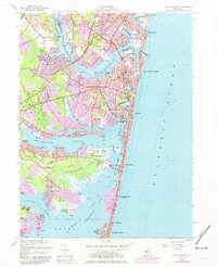
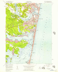
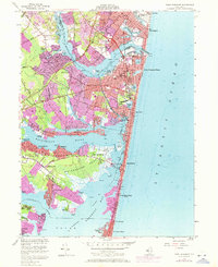
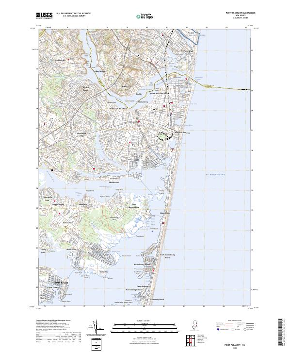
Editions of this 1953 Point Pleasant Map
4 editions found
Historical Maps of Toms River Through Time
9 maps found
1947 Point Pleasant
Ocean County, NJ
1953 Point Pleasant
Ocean County, NJ
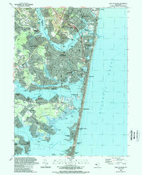
1989 Point Pleasant
Ocean County, NJ
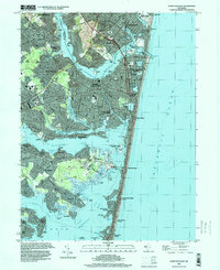
1995 Point Pleasant
Ocean County, NJ
2011 Point Pleasant
Ocean County, NJ
2014 Point Pleasant
Ocean County, NJ
2016 Point Pleasant
Ocean County, NJ
2019 Point Pleasant
Ocean County, NJ
2023 Point Pleasant
Ocean County, NJ