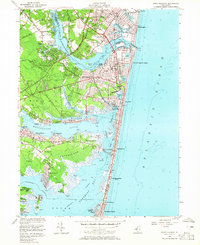
1953 Map of Point Pleasant
USGS Topo · Published 1965About this map
Point Pleasant and its neighboring shore communities are shown here during a period of post-war coastal development. The landscape is defined by the complex interface of the Atlantic Ocean, Barnegat Bay, and the Metedeconk River. Transportation is a central theme, with the New York and Long Branch RR serving stations like Bay Head Junction, while the Intracoastal Waterway and Point Pleasant Canal facilitate maritime movement through the inland reaches. Local infrastructure is well-established, including the Adamston USAF Radio Station and the National Guard Camp near Sea Girt. Settlement patterns range from the dense grids of Point Pleasant Beach and Manasquan to the specialized land use of the Cranberry Bogs near Osbornsville. The map details community centers such as Brielle and Mantoloking, along with family-named landmarks like Wardells Neck and Metedeconk Neck.
Find a feature on this map
108 named features on this map. Tap any name to fly to it.
Don’t see what you’re looking for? This feature index may not catch every label — zoom into the map to look around manually.
Map Details
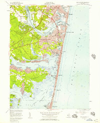
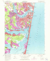
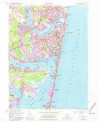
Editions of this 1953 Point Pleasant Map
4 editions found
Other maps of this area

1888 · Barnegat
USGS Topo · 1:62,500

1888 · Asbury Park
USGS Topo · 1:62,500

1893 · Asbury Park
USGS Topo · 1:62,500

1893 · Barnegat
USGS Topo · 1:62,500

1898 · Barnegat
USGS Topo · 1:62,500

1901 · Asbury Park
USGS Topo · 1:62,500

1902 · Navesink
USGS Topo · 1:125,000

1919 · Barnegat
USGS Topo · 1:62,500

1919 · Asbury Park
USGS Topo · 1:62,500

1941 · Toms River
USGS Topo · 1:62,500