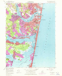
1953 Map of Point Pleasant
USGS Topo · Published 1972About this map
Barnegat Bay and the Atlantic Ocean define the coastal character of this New Jersey shore region, where the Manasquan River and Metedeconk River drain toward the sea. The landscape reveals a complex network of coastal lagoons and inlets, including The Glimmer Glass and Twilight Lake. Settlement patterns follow the shoreline and riverbanks, with established communities like Brielle, Point Pleasant Beach, and Mantoloking connected by the Pennsylvania Railroad.
Find a feature on this map
86 named features on this map. Tap any name to fly to it.
Don’t see what you’re looking for? This feature index may not catch every label — zoom into the map to look around manually.
Map Details
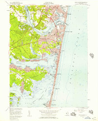
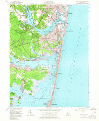
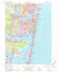
Editions of this 1953 Point Pleasant Map
4 editions found
Other maps of this area

1888 · Barnegat
USGS Topo · 1:62,500

1888 · Asbury Park
USGS Topo · 1:62,500

1893 · Asbury Park
USGS Topo · 1:62,500

1893 · Barnegat
USGS Topo · 1:62,500

1898 · Barnegat
USGS Topo · 1:62,500

1901 · Asbury Park
USGS Topo · 1:62,500

1902 · Navesink
USGS Topo · 1:125,000

1919 · Barnegat
USGS Topo · 1:62,500

1919 · Asbury Park
USGS Topo · 1:62,500

1941 · Toms River
USGS Topo · 1:62,500