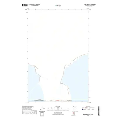
2020 Map of Point Roberts OE N
USGS Topo · Published 2020About this map
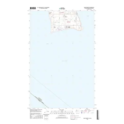
The international border between Canada and the United States defines the narrow landmass on this coastal sheet, where the edge of the Pacific Northwest meets the sea. Centered along the 49th parallel, the geography is dominated by the maritime transition between the Strait of Georgia to the west and the expansive Boundary Bay. The small community of Maple Beach sits at the water's edge, linked to the interior by local thoroughfares including Roosevelt Way, Churchill Dr, and Cliff Rd. This 2020 survey illustrates the unique geopolitical situation of a small American exclave, showing how the land is segmented by the township and range system of t41n r3w even as it is physically isolated from the mainland United States by the Canadian border.
Find a feature on this map
8 named features on this map. Tap any name to fly to it.
Don’t see what you’re looking for? This feature index may not catch every label — zoom into the map to look around manually.
Map Details
Editions of this 2020 Point Roberts OE N Map
This is the sole edition of this map. No revisions or reprints were ever made.
Other maps of this area
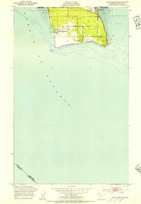
1952 · Point Roberts
USGS Topo · 1:24,000

1957 · Victoria
USGS Topo · 1:250,000

1975 · Bellingham
USGS Topo · 1:100,000
1981 · Roche Harbor
USGS Topo · 1:100,000
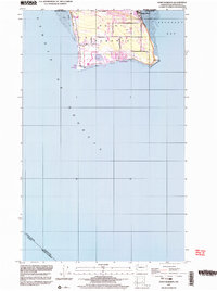
1997 · Point Roberts
USGS Topo · 1:24,000
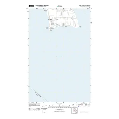
2011 · Point Roberts
USGS Topo · 1:24,000
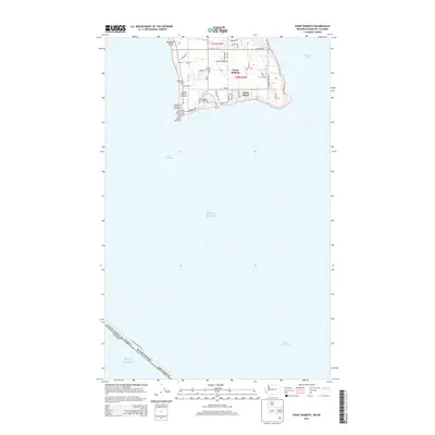
2014 · Point Roberts
USGS Topo · 1:24,000
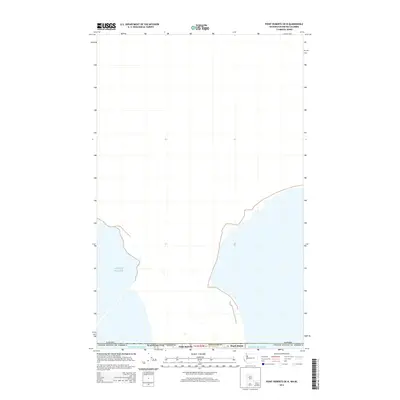
2014 · Point Roberts OE N
USGS Topo · 1:24,000
2014 · Strait of Georgia (All Water)
USGS Topo · 1:24,000
2017 · Point Roberts
USGS Topo · 1:24,000