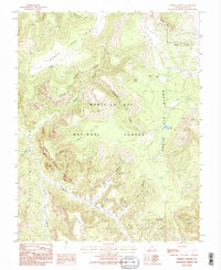
1985 Map of Poison Canyon
USGS Topo · Published 1995About this map
Manti-La Sal National Forest dominates this mid-1980s provisional study, revealing a complex network of deep drainage systems and high plateaus. The topography is defined by the sharp descent from Elk Ridge into the Dark Canyon Wilderness, where Dark Canyon and its many tributaries, including Peavine Canyon and Horse Pasture Canyon, carve through the landscape. This map documents the area during a period of transition in land management, showing the Wilderness Boundary (Indefinite) established to protect these remote features.
Find a feature on this map
25 named features on this map. Tap any name to fly to it.
Don’t see what you’re looking for? This feature index may not catch every label — zoom into the map to look around manually.
Map Details
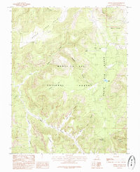
Editions of this 1985 Poison Canyon Map
2 editions found
Other maps of this area

1886 · Abajo
USGS Topo · 1:250,000

1892 · Abajo
USGS Topo · 1:250,000

1893 · Abajo
USGS Topo · 1:250,000

1935 · Elk Ridge
USGS Topo · 1:96,000

1940 · Elk Ridge
USGS Topo · 1:125,000

1954 · Elk Ridge 4 NW
USGS Topo · 1:24,000

1954 · Elk Ridge 1 SW
USGS Topo · 1:24,000

1954 · Elk Ridge 2 SE
USGS Topo · 1:24,000

1954 · Elk Ridge 1 NW
USGS Topo · 1:24,000

1954 · Elk Ridge 3 NE
USGS Topo · 1:24,000