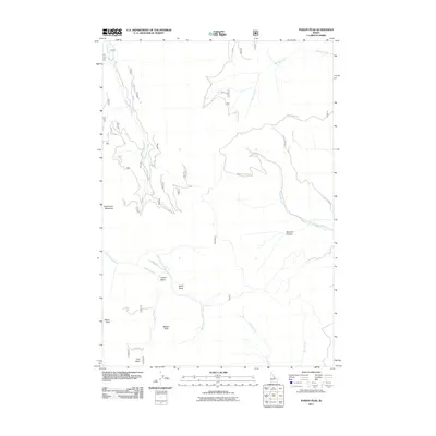
2011 Map of Poison Peak
USGS Topo · Published 2011About this map
Poison Peak and Watson Peak anchor this high-elevation landscape in Lemhi County, where the topography is defined by a series of high basins and drainage networks. The western portion of the quadrangle is marked by Twelvemile Creek and the expansive Twelvemile Meadows, while the southern reaches feature a cluster of glacial or erosional bowls including Copper Basin, North Basin, and First Basin. These high-country features suggest a history of seasonal grazing and water management for the surrounding region.
Find a feature on this map
18 named features on this map. Tap any name to fly to it.
Don’t see what you’re looking for? This feature index may not catch every label — zoom into the map to look around manually.
Map Details
Editions of this 2011 Poison Peak Map
This is the sole edition of this map. No revisions or reprints were ever made.
Other maps of this area

1950 · Salmon
USGS Topo · 1:62,500

1951 · Salmon
USGS Topo · 1:62,500

1955 · Dubois
USGS Topo · 1:250,000

1955 · Dillon
USGS Topo · 1:250,000

1956 · Goldstone Mtn
USGS Topo · 1:62,500

1956 · Lemhi
USGS Topo · 1:62,500

1957 · Dillon
USGS Topo · 1:250,000

1958 · Dubois
USGS Topo · 1:250,000

1958 · Dillon
USGS Topo · 1:250,000

1962 · Dillon
USGS Topo · 1:250,000