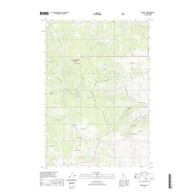
2020 Map of Poison Peak
USGS Topo · Published 2020About this map
The Lemhi Range dominates this portion of the Salmon National Forest, characterized by high peaks and high-elevation basins. Significant landmarks include Poison Peak and Watson Peak, which overlook the surrounding drainage systems of Twelvemile Cr and McDevitt Cr. The area is marked by a network of seasonal water sources and landmarks like Bull Summit Waterhole and Tule Lake, which are essential for livestock and wildlife in this part of Lemhi County.
Find a feature on this map
42 named features on this map. Tap any name to fly to it.
Don’t see what you’re looking for? This feature index may not catch every label — zoom into the map to look around manually.
Map Details
Editions of this 2020 Poison Peak Map
This is the sole edition of this map. No revisions or reprints were ever made.
Other maps of this area

1950 · Salmon
USGS Topo · 1:62,500

1951 · Salmon
USGS Topo · 1:62,500

1955 · Dubois
USGS Topo · 1:250,000

1955 · Dillon
USGS Topo · 1:250,000

1956 · Goldstone Mtn
USGS Topo · 1:62,500

1956 · Lemhi
USGS Topo · 1:62,500

1957 · Dillon
USGS Topo · 1:250,000

1958 · Dubois
USGS Topo · 1:250,000

1958 · Dillon
USGS Topo · 1:250,000

1962 · Dillon
USGS Topo · 1:250,000