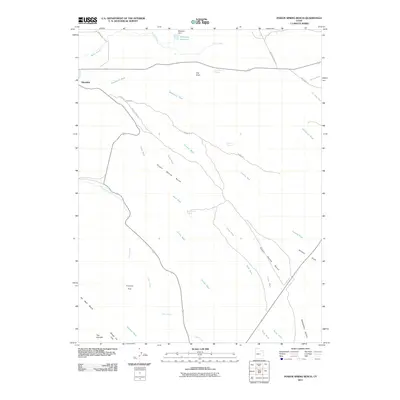
2011 Map of Poison Spring Bench
USGS Topo · Published 2011About this map
Poison Spring Bench and the high, arid plateaus of Carbon County define this landscape as it appeared in the early 21st century. The map centers on a series of deeply etched drainages and named alluvial flats, illustrating a complex hydrological network that includes Timothy Wash, Potter Wash, and Sand Wash. These intermittent watercourses converge and weave between distinct topographical markers like The Knoll and the uniquely named Nosey Joe Flat.
Find a feature on this map
30 named features on this map. Tap any name to fly to it.
Don’t see what you’re looking for? This feature index may not catch every label — zoom into the map to look around manually.
Map Details
Editions of this 2011 Poison Spring Bench Map
This is the sole edition of this map. No revisions or reprints were ever made.
Other maps of this area

1885 · Manti
USGS Topo · 1:250,000

1886 · Price River
USGS Topo · 1:250,000

1895 · Manti
USGS Topo · 1:250,000

1896 · Price River
USGS Topo · 1:250,000

1914 · Castle Gate
USGS Topo · 1:62,500

1916 · Castle Gate
USGS Topo · 1:62,500

1923 · Scofield
USGS Topo · 1:62,500

1923 · Hiawatha
USGS Topo · 1:62,500

1925 · Scofield
USGS Topo · 1:62,500

1925 · Hiawatha
USGS Topo · 1:62,500