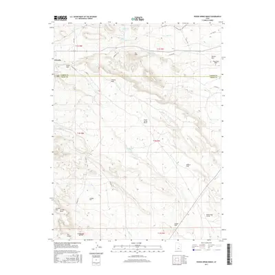
2017 Map of Poison Spring Bench
USGS Topo · Published 2017About this map
Poison Spring Bench and its surrounding desert topography define this section of the High Plateaus where Carbon and Emery counties meet. The landscape is carved by a network of drainage systems including Marsing Wash, Wildcat Draw, and Sherman Wash Bench. Water sources are localized and critical to the area's history, marked by named features such as Millerton Reservoir and several vital springs like Clawson Spring, Goat Ranch Spring, and Cottonwood Spring.
Find a feature on this map
39 named features on this map. Tap any name to fly to it.
Don’t see what you’re looking for? This feature index may not catch every label — zoom into the map to look around manually.
Map Details
Editions of this 2017 Poison Spring Bench Map
This is the sole edition of this map. No revisions or reprints were ever made.
Other maps of this area

1885 · Manti
USGS Topo · 1:250,000

1886 · Price River
USGS Topo · 1:250,000

1895 · Manti
USGS Topo · 1:250,000

1896 · Price River
USGS Topo · 1:250,000

1914 · Castle Gate
USGS Topo · 1:62,500

1916 · Castle Gate
USGS Topo · 1:62,500

1923 · Scofield
USGS Topo · 1:62,500

1923 · Hiawatha
USGS Topo · 1:62,500

1925 · Scofield
USGS Topo · 1:62,500

1925 · Hiawatha
USGS Topo · 1:62,500