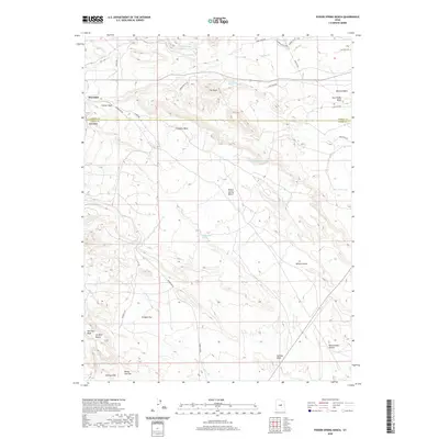
2020 Map of Poison Spring Bench
USGS Topo · Published 2020About this map
Hiawatha sits at the edge of this high-desert landscape where the border of Carbon and Emery counties cuts across a complex system of plateaus and washes. The terrain is defined by elevated features like Poison Spring Bench and Oil Well Bench, interspersed with several vital water sources including Clawson Spring, Goat Ranch Spring, and Cottonwood Spring. To the north, the Millerton Reservoir and its associated ranch roads indicate the sparse but essential infrastructure supporting land use in this arid region.
Find a feature on this map
32 named features on this map. Tap any name to fly to it.
Don’t see what you’re looking for? This feature index may not catch every label — zoom into the map to look around manually.
Map Details
Editions of this 2020 Poison Spring Bench Map
This is the sole edition of this map. No revisions or reprints were ever made.
Other maps of this area

1885 · Manti
USGS Topo · 1:250,000

1886 · Price River
USGS Topo · 1:250,000

1895 · Manti
USGS Topo · 1:250,000

1896 · Price River
USGS Topo · 1:250,000

1914 · Castle Gate
USGS Topo · 1:62,500

1916 · Castle Gate
USGS Topo · 1:62,500

1923 · Scofield
USGS Topo · 1:62,500

1923 · Hiawatha
USGS Topo · 1:62,500

1925 · Scofield
USGS Topo · 1:62,500

1925 · Hiawatha
USGS Topo · 1:62,500