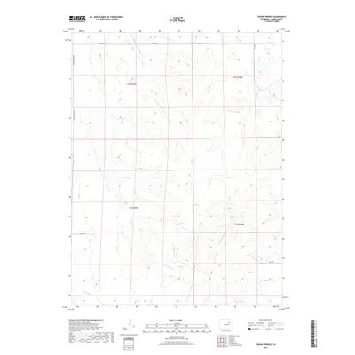
2019 Map of Poison Springs
USGS Topo · Published 2019About this map
Poison Springs and its namesake drainage, Poison Springs Cr, characterize the central drainage pattern of this eastern Adams County landscape. The terrain is defined by a series of north-south seasonal watercourses, including Little Muddy Cr and its E Fork Little Muddy Cr, which carve through the high plains. This map illustrates the intersection of these natural features with the rigid section lines of the Public Land Survey System, evidenced by the rectilinear grid of thoroughfares like Hanks Crossing Rd and 96th Ave. The sparse distribution of infrastructure indicates a ranching or agricultural environment where movement is dictated by the deeply etched arroyos, such as Sand Arroyo Cr, and the underlying township and range boundaries that continue to organize the territory.
Find a feature on this map
16 named features on this map. Tap any name to fly to it.
Don’t see what you’re looking for? This feature index may not catch every label — zoom into the map to look around manually.
Map Details
Editions of this 2019 Poison Springs Map
This is the sole edition of this map. No revisions or reprints were ever made.
Other maps of this area

1951 · Leader SE
USGS Topo · 1:24,000

1951 · Leader
USGS Topo · 1:24,000

1953 · Denver
USGS Topo · 1:250,000

1954 · Limon
USGS Topo · 1:250,000

1956 · Peoria
USGS Topo · 1:24,000

1957 · Denver
USGS Topo · 1:250,000

1957 · Limon
USGS Topo · 1:250,000

1958 · Limon
USGS Topo · 1:250,000

1958 · Denver
USGS Topo · 1:250,000

1960 · Denver
USGS Topo · 1:250,000