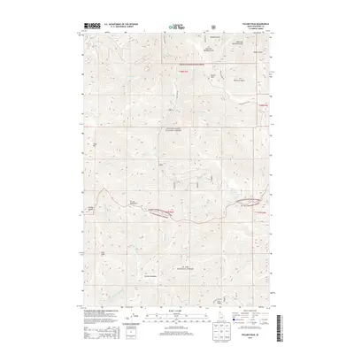
2013 Map of Polaris Peak
USGS Topo · Published 2013About this map
Bronson Meadows lies at the heart of this mountainous landscape where the Coeur d'Alene National Forest meets the St. Joe National Forest. The topography is dominated by the sharp elevations of the St. Joe Mountains, including prominent summits such as Polaris Peak, Silver Hill, and Elsie Peak. This high-country region is deeply dissected by a network of drainages, most notably Big Cr and its various forks, along with Slate Cr and Ames Cr.
Find a feature on this map
37 named features on this map. Tap any name to fly to it.
Don’t see what you’re looking for? This feature index may not catch every label — zoom into the map to look around manually.
Map Details
Editions of this 2013 Polaris Peak Map
This is the sole edition of this map. No revisions or reprints were ever made.
Other maps of this area

1901 · Coeur D'Alene District
USGS Topo · 1:62,500

1903 · Coeur D'Alene District
USGS Topo · 1:62,500

1906 · Coeur D'Alene District
USGS Topo · 1:62,500

1909 · Cataldo
USGS Topo · 1:125,000

1911 · Cataldo
USGS Topo · 1:125,000

1914 · Avery
USGS Topo · 1:125,000

1917 · Avery
USGS Topo · 1:125,000

1932 · Trout Creek
USGS Topo · 1:125,000

1935 · Trout Creek
USGS Topo · 1:125,000

1936 · Trout Creek
USGS Topo · 1:125,000