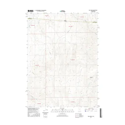
2017 Map of Pole Creek
USGS Topo · Published 2017About this map
The Goose Creek Mountains define the high-elevation terrain of this borderland where Utah meets Idaho. This survey captures the remote northern edge of Box Elder County, showing a landscape shaped by narrow drainage basins and early range roads. Water sources like Pole Creek and Birch Cr descend from the peaks, providing the primary landmarks in an area dominated by cattle ranching and seasonal grazing. The intricate network of access ways, including Goose Creek Rd and E Hardesty Rd, underscores the importance of these mountain corridors for connectivity across state lines. Genealogists and local historians can trace the paths of Hardesty Cr and its S Fork Hardesty Cr through the high country, following the same routes used by regional homesteaders and miners who worked the periphery of the Goose Creek range.
Find a feature on this map
20 named features on this map. Tap any name to fly to it.
Don’t see what you’re looking for? This feature index may not catch every label — zoom into the map to look around manually.
Map Details
Editions of this 2017 Pole Creek Map
This is the sole edition of this map. No revisions or reprints were ever made.
Other maps of this area

1954 · Pocatello
USGS Topo · 1:250,000

1954 · Brigham City
USGS Topo · 1:250,000

1955 · Twin Falls
USGS Topo · 1:250,000

1955 · Wells
USGS Topo · 1:250,000

1958 · Wells
USGS Topo · 1:250,000

1958 · Twin Falls
USGS Topo · 1:250,000

1958 · Pocatello
USGS Topo · 1:250,000

1958 · Brigham City
USGS Topo · 1:250,000

1959 · Cotton Thomas Basin
USGS Topo · 1:62,500

1961 · Wells
USGS Topo · 1:250,000