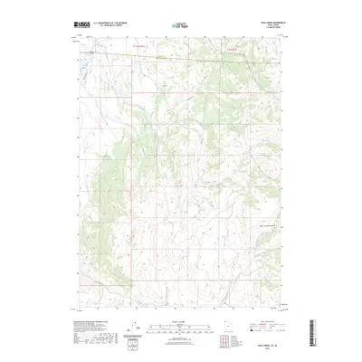
2023 Map of Pole Creek
USGS Topo · Published 2023About this map
The Goose Creek Mountains anchor this high-elevation landscape where the Idaho-Utah state line and the Cassia-Box Elder county boundary converge. This is a region defined by its drainage systems, where the headwaters of Pole Creek and Hardesty Creek cut through the terrain. The map reveals a network of primitive access routes, including Goose Creek Rd and E Hardesty Rd, which navigate the various forks and ridges. The presence of North Fork Hardesty Creek and South Fork Hardesty Creek suggests a complex watershed that has historically supported seasonal grazing and transit across the state border. While devoid of major settlements, the named creeks and specific road alignments like E Vipont Rd provide essential reference points for understanding the early 21st-century land use in this borderland area.
Find a feature on this map
12 named features on this map. Tap any name to fly to it.
Don’t see what you’re looking for? This feature index may not catch every label — zoom into the map to look around manually.
Map Details
Editions of this 2023 Pole Creek Map
This is the sole edition of this map. No revisions or reprints were ever made.
Other maps of this area

1954 · Pocatello
USGS Topo · 1:250,000

1954 · Brigham City
USGS Topo · 1:250,000

1955 · Twin Falls
USGS Topo · 1:250,000

1955 · Wells
USGS Topo · 1:250,000

1958 · Wells
USGS Topo · 1:250,000

1958 · Twin Falls
USGS Topo · 1:250,000

1958 · Pocatello
USGS Topo · 1:250,000

1958 · Brigham City
USGS Topo · 1:250,000

1959 · Cotton Thomas Basin
USGS Topo · 1:62,500

1961 · Wells
USGS Topo · 1:250,000