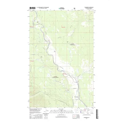
2017 Map of Polebridge
USGS Topo · Published 2017About this map
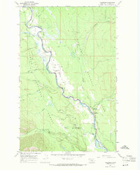
The North Fork Flathead River carves a central corridor through this landscape, serving as a natural boundary between the Glacier National Park to the east and the Flathead National Forest to the west. This river-valley geography concentrates human activity along its banks, notably at Polebridge, where the Polebridge Loop and Polebridge Ln mark a rare cluster of development in the high country.
Find a feature on this map
42 named features on this map. Tap any name to fly to it.
Don’t see what you’re looking for? This feature index may not catch every label — zoom into the map to look around manually.
Map Details
Editions of this 2017 Polebridge Map
This is the sole edition of this map. No revisions or reprints were ever made.
Other maps of this area

1906 · Kintla Lakes
USGS Topo · 1:125,000

1938 · Kintla Lakes
USGS Topo · 1:125,000

1957 · Kalispell
USGS Topo · 1:250,000

1960 · Kalispell
USGS Topo · 1:250,000

1961 · Kalispell
USGS Topo · 1:250,000
1966 · Demers Ridge
USGS Topo · 1:24,000

1966 · Kintla Lake
USGS Topo · 1:24,000
1966 · Moose Peak
USGS Topo · 1:24,000
1966 · Whale Buttes
USGS Topo · 1:24,000
1966 · Polebridge
USGS Topo · 1:24,000