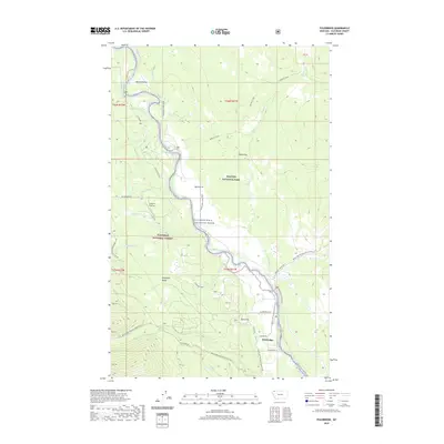
2020 Map of Polebridge
USGS Topo · Published 2020About this map
The North Fork Flathead River serves as the primary boundary and lifeline through this part of the Flathead National Forest, separating the wilderness to the west from the southwestern reaches of Glacier National Park. The settlement of Polebridge marks the southern entry point to this remote corridor, where the Polebridge Loop and Polebridge Lane connect local travel to the N Fork Rd. This area is defined by its transition from the steep elevations of the Whitefish Range down to the alluvial terraces of Big Prairie and Tepee Flat.
Find a feature on this map
42 named features on this map. Tap any name to fly to it.
Don’t see what you’re looking for? This feature index may not catch every label — zoom into the map to look around manually.
Map Details
Editions of this 2020 Polebridge Map
This is the sole edition of this map. No revisions or reprints were ever made.
Other maps of this area
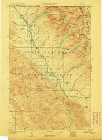
1906 · Kintla Lakes
USGS Topo · 1:125,000
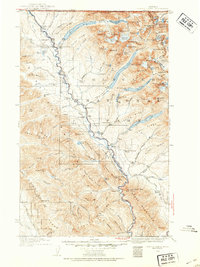
1938 · Kintla Lakes
USGS Topo · 1:125,000
1957 · Kalispell
USGS Topo · 1:250,000
1960 · Kalispell
USGS Topo · 1:250,000
1961 · Kalispell
USGS Topo · 1:250,000
1966 · Demers Ridge
USGS Topo · 1:24,000
1966 · Kintla Lake
USGS Topo · 1:24,000
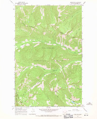
1966 · Moose Peak
USGS Topo · 1:24,000
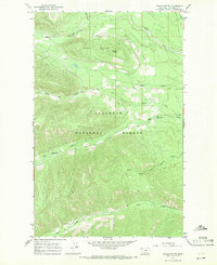
1966 · Whale Buttes
USGS Topo · 1:24,000
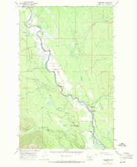
1966 · Polebridge
USGS Topo · 1:24,000