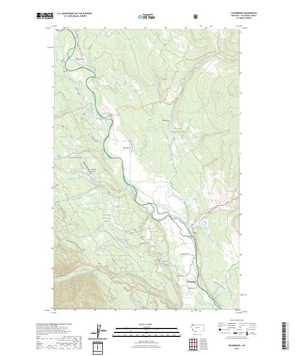
2024 Map of Polebridge
USGS Topo · Published 2024About this map
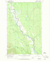
Polebridge serves as the focal point for this mountain landscape, where the North Fork Flathead River carves a boundary between Glacier National Park and the Flathead National Forest. This 2024 survey captures the distinct isolation of the corridor, emphasizing the preservation of the Flathead Wild and Scenic River. Small settlements and clearings like Round Prairie and Big Prairie punctuate the dense forest, while the Langton Airstrip provides a critical access point in the absence of major paved highways.
Find a feature on this map
40 named features on this map. Tap any name to fly to it.
Don’t see what you’re looking for? This feature index may not catch every label — zoom into the map to look around manually.
Map Details
Editions of this 2024 Polebridge Map
This is the sole edition of this map. No revisions or reprints were ever made.
Other maps of this area

1906 · Kintla Lakes
USGS Topo · 1:125,000

1938 · Kintla Lakes
USGS Topo · 1:125,000

1957 · Kalispell
USGS Topo · 1:250,000

1960 · Kalispell
USGS Topo · 1:250,000

1961 · Kalispell
USGS Topo · 1:250,000
1966 · Demers Ridge
USGS Topo · 1:24,000

1966 · Kintla Lake
USGS Topo · 1:24,000
1966 · Moose Peak
USGS Topo · 1:24,000
1966 · Whale Buttes
USGS Topo · 1:24,000
1966 · Polebridge
USGS Topo · 1:24,000