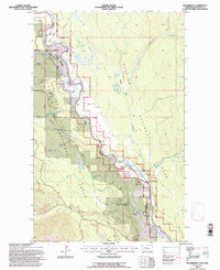
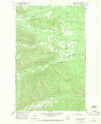
1994 Map of Polebridge
USGS Topo · Published 1997About this map
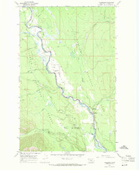
The North Fork Flathead River serves as the central artery and natural boundary of this mid-1990s landscape, dividing the Flathead National Forest to the west from Glacier National Park to the east. The isolated community of Polebridge is documented here, featuring the Polebridge Community Center and the Polebridge (Park Service) station near the river’s edge. This area reflects a wilderness-adjacent settlement pattern where small clearings like Round Prairie and the sprawling Big Prairie provide breaks in the dense timber. Transportation and access are marked by the Glacier Route and specialized infrastructure such as the Bowman Landing Strip and a secondary Landing Strip near Red Meadow Creek. The map also captures several backcountry outposts, including the Schnaus Cabin, and the numerous drainage systems like Whale Creek and Akokala Creek that feed the river valley.
Find a feature on this map
29 named features on this map. Tap any name to fly to it.
Don’t see what you’re looking for? This feature index may not catch every label — zoom into the map to look around manually.
Map Details
Editions of this 1994 Polebridge Map
This is the sole edition of this map. No revisions or reprints were ever made.
Other maps of this area

1906 · Kintla Lakes
USGS Topo · 1:125,000

1938 · Kintla Lakes
USGS Topo · 1:125,000

1957 · Kalispell
USGS Topo · 1:250,000

1960 · Kalispell
USGS Topo · 1:250,000

1961 · Kalispell
USGS Topo · 1:250,000
1966 · Demers Ridge
USGS Topo · 1:24,000
1966 · Kintla Lake
USGS Topo · 1:24,000
1966 · Moose Peak
USGS Topo · 1:24,000
1966 · Whale Buttes
USGS Topo · 1:24,000
1966 · Polebridge
USGS Topo · 1:24,000