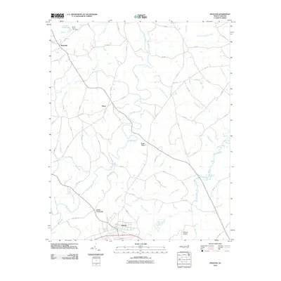
2010 Map of Polkton
USGS Topo · Published 2010About this map
Lanes Creek winds through the heart of this Anson County landscape, a region defined by a network of small rural settlements and agricultural water sources. The town of Polkton anchors the southern boundary, while small hamlets and junctions like Sugar Town, Kikers, and Griffins Crossroads reveal the established settlement pattern of the early 21st century. The terrain is deeply etched by numerous waterways such as Cribs Creek and Brown Creek, illustrating the drainage patterns that have likely influenced local land use for generations.
Find a feature on this map
70 named features on this map. Tap any name to fly to it.
Don’t see what you’re looking for? This feature index may not catch every label — zoom into the map to look around manually.
Map Details
Editions of this 2010 Polkton Map
This is the sole edition of this map. No revisions or reprints were ever made.
Other maps of this area

1941 · Spartanburg
USGS Topo · 1:250,000

1953 · Spartanburg
USGS Topo · 1:250,000

1953 · Charlotte
USGS Topo · 1:250,000

1954 · Charlotte
USGS Topo · 1:250,000

1956 · Ansonville
USGS Topo · 1:24,000

1956 · Mount Gilead West
USGS Topo · 1:24,000

1956 · Wadesboro
USGS Topo · 1:24,000

1960 · Charlotte
USGS Topo · 1:250,000

1960 · Spartanburg
USGS Topo · 1:250,000

1962 · Charlotte
USGS Topo · 1:250,000