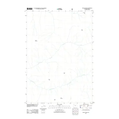
2012 Map of Pollux Peak
USGS Topo · Published 2012About this map
Pollux Peak and Castor Peak dominate the central landscape of this high-altitude Park County terrain. This survey reflects the pristine character of the region where the headwaters of the Lamar River and the Little Lamar River converge among prominent high-elevation landmarks. Notable summits including Parker Peak, Saddle Mountain, and Notch Mountain define the drainage basins for smaller tributaries such as Miller Cr and Red Cr. The lack of road infrastructure or human settlements highlights the area's role as a protected wilderness, documented here with modern precision. Researchers will find the topographic relationships between Grant Peak and the passage at Bootjack Gap useful for understanding natural travel corridors through the northern Wyoming mountains.
Find a feature on this map
11 named features on this map. Tap any name to fly to it.
Don’t see what you’re looking for? This feature index may not catch every label — zoom into the map to look around manually.
Map Details
Editions of this 2012 Pollux Peak Map
This is the sole edition of this map. No revisions or reprints were ever made.
Other maps of this area

1886 · Canyon
USGS Topo · 1:125,000

1895 · Canyon
USGS Topo · 1:125,000

1896 · Canyon
USGS Topo · 1:125,000

1896 · Crandall Creek
USGS Topo · 1:125,000

1899 · Crandall
USGS Topo · 1:125,000

1901 · Canyon
USGS Topo · 1:125,000

1907 · Canyon
USGS Topo · 1:125,000

1911 · Canyon
USGS Topo · 1:125,000

1955 · Ashton
USGS Topo · 1:250,000

1955 · Cody
USGS Topo · 1:250,000