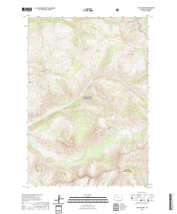
2021 Map of Pollux Peak
USGS Topo · Published 2021About this map
The Absaroka Range dominates this portion of northwestern Wyoming, where the high-altitude wilderness of Yellowstone National Park meets the Shoshone National Forest. This remote landscape is defined by its dramatic peaks and the drainage basins of the Lamar River and Little Lamar River. The named summits of Pollux Peak and Castor Peak stand as prominent landmarks in the southern half of the sheet, while Saddle Mtn and Hague Mtn rise to the northwest. Significant backcountry access routes are documented here, including the Hoodoo Basin Trl and the Bootjack Gap Trl, which navigate the steep terrain between Miller Creek and the river valleys. The topography shows a primitive wilderness largely untouched by permanent settlement, with a focus on natural features like Grant Peak and Notch Mtn that delineate the transition between managed forest and park lands.
Find a feature on this map
24 named features on this map. Tap any name to fly to it.
Don’t see what you’re looking for? This feature index may not catch every label — zoom into the map to look around manually.
Map Details
Editions of this 2021 Pollux Peak Map
This is the sole edition of this map. No revisions or reprints were ever made.
Other maps of this area

1886 · Canyon
USGS Topo · 1:125,000

1895 · Canyon
USGS Topo · 1:125,000

1896 · Canyon
USGS Topo · 1:125,000

1896 · Crandall Creek
USGS Topo · 1:125,000

1899 · Crandall
USGS Topo · 1:125,000

1901 · Canyon
USGS Topo · 1:125,000

1907 · Canyon
USGS Topo · 1:125,000

1911 · Canyon
USGS Topo · 1:125,000

1955 · Ashton
USGS Topo · 1:250,000

1955 · Cody
USGS Topo · 1:250,000