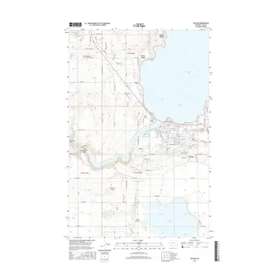
2017 Map of Polson
USGS Topo · Published 2017About this map
Polson serves as the focal point of this 2017 study, situated at the southern tip of Flathead Lake where the waters narrow into Polson Bay. The map documents a landscape defined by water management and transit, featuring the Polson Bridge and the winding course of the Flathead River. This modern survey details the intricate irrigation network south of the lake, including the Polson B Canal, Polson C Canal, and Pablo 31 A-07 Canal feeding into Pablo Reservoir.
Find a feature on this map
109 named features on this map. Tap any name to fly to it.
Don’t see what you’re looking for? This feature index may not catch every label — zoom into the map to look around manually.
Map Details
Editions of this 2017 Polson Map
This is the sole edition of this map. No revisions or reprints were ever made.
Other maps of this area
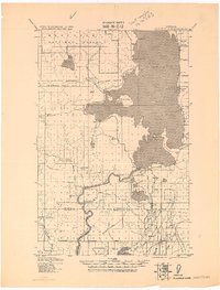
1920 · Flathead Lake
USGS Topo · 1:125,000
1956 · Wallace
USGS Topo · 1:250,000
1960 · Wallace
USGS Topo · 1:250,000
1964 · Bull Island
USGS Topo · 1:24,000
1964 · Buffalo Bridge
USGS Topo · 1:24,000
1964 · Wild Horse Island
USGS Topo · 1:24,000
1964 · East Bay
USGS Topo · 1:24,000
1964 · Elmo
USGS Topo · 1:24,000
1964 · Polson
USGS Topo · 1:24,000
1964 · Ronan
USGS Topo · 1:24,000