Loading...
Loading map...2023 Map of Pomeroy
USGS Topo · Published 2023About this map
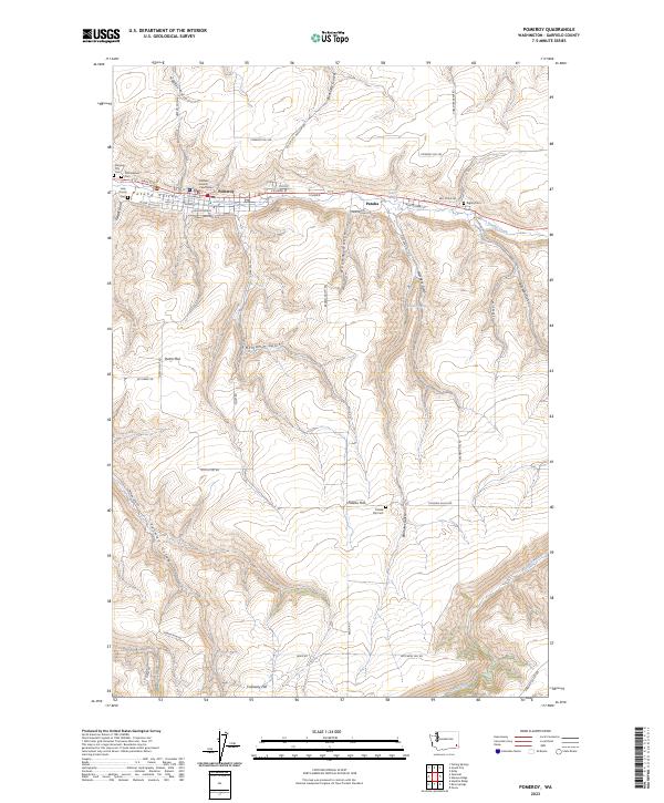
Pomeroy serves as the focal point of this Garfield County landscape, situated along the winding course of Pataha Creek. As the county seat, the town is anchored by the Garfield County Courthouse and a dense network of local streets including Main St and Columbia St. To the east, the settlement of Pataha sits at the base of the surrounding plateaus, while the high ground is defined by expansive agricultural areas like Pataha Flat and Dutch Flat.
Find a feature on this map
59 named features on this map. Tap any name to fly to it.
Don’t see what you’re looking for? This feature index may not catch every label — zoom into the map to look around manually.
Map Details
Date Portrayed2023
Date Published2023
PublisherU.S. Geological Survey
Map TypeTopographic
Scale1:24000
Physical Dimensions24 x 29 inches
Editions of this 2023 Pomeroy Map
This is the sole edition of this map. No revisions or reprints were ever made.
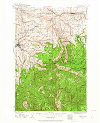
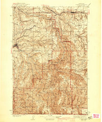
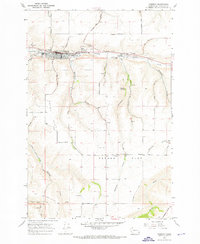
Historical Maps of Pomeroy Through Time
4 maps found
Featured Locations
Source Details
SourceU.S. Geological Survey
CopyrightPublic Domain