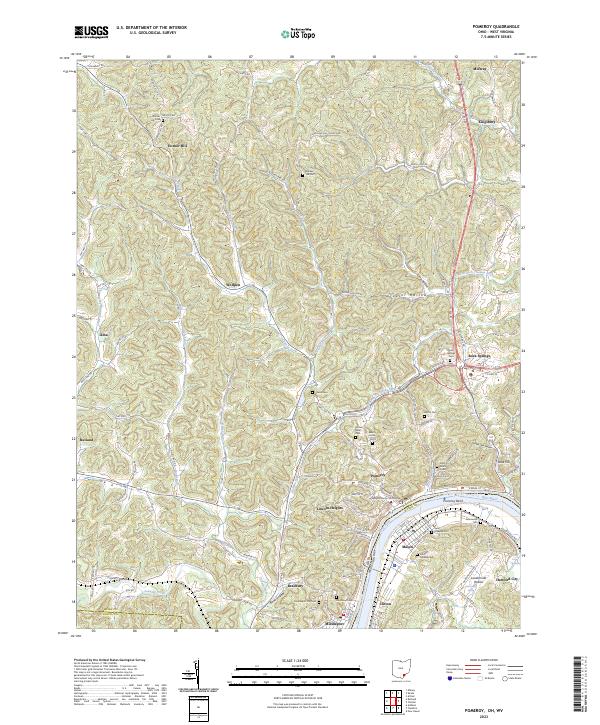
2023 Map of Pomeroy
USGS Topo · Published 2023About this map
The Meigs County Courthouse anchors the riverfront in Pomeroy, where the town’s streets follow the dramatic curve of Pomeroy Bend on the Ohio River. This 2023 survey illustrates the dense river-valley development of Middleport, Pomeroy, and Mason, contrasting with the high-elevation settlements like Horner Hill and Rock Springs that overlook the valley. The map is a significant resource for genealogists, documenting a high density of burial sites including Saint Josephs Cem, Odd Fellows Cem, and Riverview Cem.
Find a feature on this map
119 named features on this map. Tap any name to fly to it.
Don’t see what you’re looking for? This feature index may not catch every label — zoom into the map to look around manually.
Map Details
Editions of this 2023 Pomeroy Map
This is the sole edition of this map. No revisions or reprints were ever made.
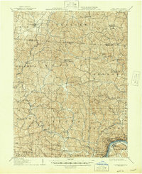
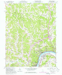
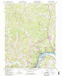
Historical Maps of Kingsbury Through Time
4 maps found