Loading...
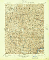
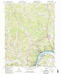
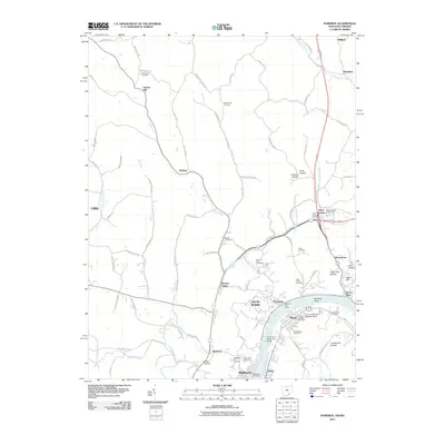
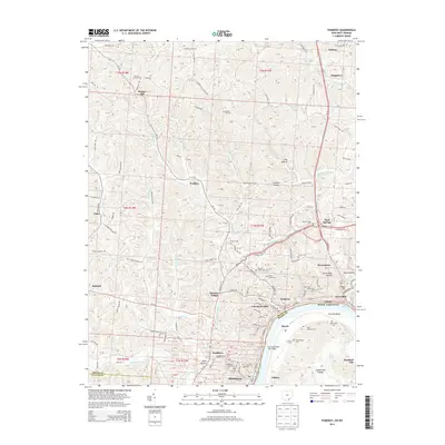
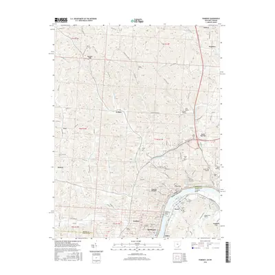
Loading map...1907 Map of Pomeroy
USGS Topo · Published 1946About this map
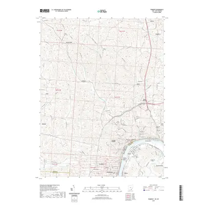
Pomeroy and the neighboring river towns of Middleport and Bradbury anchor the southern edge of this survey, where the Ohio River forms the state boundary. During this era, the riverfront is a hub of industrial activity, supported by the Kanawha and Michigan railroad line running parallel to the water. The interior of Meigs County is defined by a dense network of small agricultural and postal settlements, including several dual-named locations such as Pagetown Downington PO and Darwin PO Millersburg.
Find a feature on this map
73 named features on this map. Tap any name to fly to it.
Don’t see what you’re looking for? This feature index may not catch every label — zoom into the map to look around manually.
Map Details
Date Portrayed1907
Date Published1946
PublisherU.S. Geological Survey
Map TypeTopographic
Scale1:62,500
Physical Dimensions17 x 20.8 inches
Editions of this 1907 Pomeroy Map
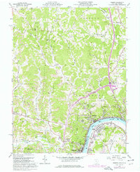
3 editions found
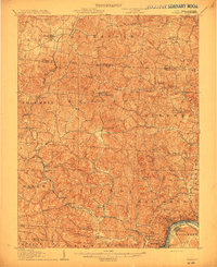
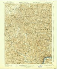
Historical Maps of Middleport Through Time
8 maps found
Featured Locations
Source Details
SourceU.S. Geological Survey
CopyrightPublic Domain