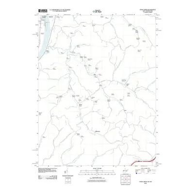
2010 Map of Pond Creek
USGS Topo · Published 2010About this map
Belleville and the riverfront at Randolph Landing anchor this study of the West Virginia-Ohio borderlands along the Ohio River. The landscape is defined by the winding course of Pond Creek and its many tributaries, which have carved a dense network of hollows and ridges like Popecat Hollow, Fairfax Hollow, and California Ridge. Genealogists will find a high concentration of family-named burial grounds throughout the countryside, including the Isabelle Flinn, Boso, Twomey, and Alexander cemeteries, reflecting generations of rural settlement.
Find a feature on this map
117 named features on this map. Tap any name to fly to it.
Don’t see what you’re looking for? This feature index may not catch every label — zoom into the map to look around manually.
Map Details
Editions of this 2010 Pond Creek Map
This is the sole edition of this map. No revisions or reprints were ever made.
Other maps of this area

1906 · Belleville
USGS Topo · 1:62,500

1907 · Keno
USGS Topo · 1:62,500

1907 · Ripley
USGS Topo · 1:62,500

1908 · Ravenswood
USGS Topo · 1:62,500

1924 · Belleville
USGS Topo · 1:62,500

1926 · Ravenswood
USGS Topo · 1:62,500

1926 · Belleville
USGS Topo · 1:62,500

1926 · Ripley
USGS Topo · 1:62,500

1928 · Ravenswood
USGS Topo · 1:62,500

1928 · Ripley
USGS Topo · 1:62,500