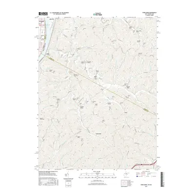
2016 Map of Pond Creek
USGS Topo · Published 2016About this map
Belleville and the crossing into Reedsville sit at a wide bend of the Ohio River, where the landscape quickly transitions from the river bottom into the dissected uplands of Wood County. The drainage network is dense, defined by the winding course of Pond Creek and its many tributaries like Jerrys Run and Little Pond Creek. This 2016 survey reflects a deeply established rural landscape where small communities such as Flinn, Willowdale, and Topins Grove are connected by a web of ridge-top and valley roads.
Find a feature on this map
147 named features on this map. Tap any name to fly to it.
Don’t see what you’re looking for? This feature index may not catch every label — zoom into the map to look around manually.
Map Details
Editions of this 2016 Pond Creek Map
This is the sole edition of this map. No revisions or reprints were ever made.
Other maps of this area

1906 · Belleville
USGS Topo · 1:62,500

1907 · Keno
USGS Topo · 1:62,500

1907 · Ripley
USGS Topo · 1:62,500

1908 · Ravenswood
USGS Topo · 1:62,500

1924 · Belleville
USGS Topo · 1:62,500

1926 · Ravenswood
USGS Topo · 1:62,500

1926 · Belleville
USGS Topo · 1:62,500

1926 · Ripley
USGS Topo · 1:62,500

1928 · Ravenswood
USGS Topo · 1:62,500

1928 · Ripley
USGS Topo · 1:62,500