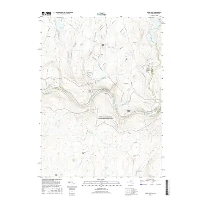
2016 Map of Pond Eddy
USGS Topo · Published 2016About this map
The Delaware River carves a deep valley through the borderlands of New York and Pennsylvania, anchoring a landscape where river hamlets meet high ridge terrain. This survey identifies a string of riverside settlements including Pond Eddy, Knights Eddy, and Rosas, each situated along the narrow corridor between the water and the rising slopes of Buckhorn Ridge and Pine Knot Ridge. To the north, the upland area around Glen Spey is characterized by numerous small lakes and brooks, such as Lochada Lake and Mill Brook, which eventually drain into the larger river system. The eastern portion of the map is dominated by the Rio Reservoir and the Mongaup River, providing evidence of the region's managed water resources. Genealogists can find localized historical data at the Van Tuyl Hillside Cem and the Mongaup Lower River Cem, while the extensive Upper Delaware Scenic and Recreational River corridor highlights the protected status of this riparian environment.
Find a feature on this map
92 named features on this map. Tap any name to fly to it.
Don’t see what you’re looking for? This feature index may not catch every label — zoom into the map to look around manually.
Map Details
Editions of this 2016 Pond Eddy Map
This is the sole edition of this map. No revisions or reprints were ever made.
Other maps of this area

1906 · Port Jervis
USGS Topo · 1:62,500

1908 · Port Jervis
USGS Topo · 1:62,500

1909 · Monticello
USGS Topo · 1:62,500

1911 · Monticello
USGS Topo · 1:62,500

1913 · Milford
USGS Topo · 1:62,500

1915 · Milford
USGS Topo · 1:62,500

1922 · White Lake
USGS Topo · 1:62,500

1942 · White Lake
USGS Topo · 1:62,500

1942 · Port Jervis North
USGS Topo · 1:24,000
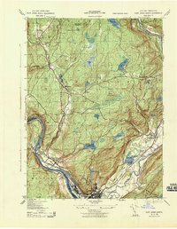
1943 · Port Jervis North
USGS Topo · 1:31,680