
1942 Map of Port Jervis North
USGS Topo · Published 1958About this map
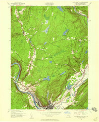
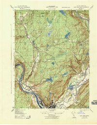
The junction of New York, Pennsylvania, and New Jersey forms the focal point of this 1942 landscape, where the Delaware River carves a deep valley beneath the Shawangunk Mountains. At the heart of the region, Port Jervis and its neighboring districts like Germantown reflect an era of intense rail activity, serving as a critical hub for both the Erie and the New York Ontario and Western railroads.
Find a feature on this map
40 named features on this map. Tap any name to fly to it.
Don’t see what you’re looking for? This feature index may not catch every label — zoom into the map to look around manually.
Map Details
Editions of this 1942 Port Jervis North Map
2 editions found
Other maps of this area

1906 · Port Jervis
USGS Topo · 1:62,500

1908 · Port Jervis
USGS Topo · 1:62,500

1909 · Monticello
USGS Topo · 1:62,500

1911 · Monticello
USGS Topo · 1:62,500

1913 · Milford
USGS Topo · 1:62,500

1915 · Milford
USGS Topo · 1:62,500

1922 · White Lake
USGS Topo · 1:62,500

1942 · White Lake
USGS Topo · 1:62,500
1942 · Otisville
USGS Topo · 1:24,000
1943 · Port Jervis North
USGS Topo · 1:31,680