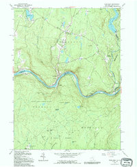
1992 Map of Pond Eddy
USGS Topo · Published 1994About this map
The Delaware River carves a sharp, winding boundary between New York and Pennsylvania in this detailed study. The landscape is defined by the steep terrain of Lumberland and Highland, where small hamlets like Glen Spey and Pond Eddy are situated. Near the river, the Sacred Heart Ch and Hillside Cem serve as focal points for local genealogy and history, reflecting the community structure of the late 20th century.
Find a feature on this map
46 named features on this map. Tap any name to fly to it.
Don’t see what you’re looking for? This feature index may not catch every label — zoom into the map to look around manually.
Map Details
Editions of this 1992 Pond Eddy Map
This is the sole edition of this map. No revisions or reprints were ever made.
Other maps of this area

1906 · Port Jervis
USGS Topo · 1:62,500

1908 · Port Jervis
USGS Topo · 1:62,500

1909 · Monticello
USGS Topo · 1:62,500

1911 · Monticello
USGS Topo · 1:62,500

1913 · Milford
USGS Topo · 1:62,500

1915 · Milford
USGS Topo · 1:62,500

1922 · White Lake
USGS Topo · 1:62,500

1942 · White Lake
USGS Topo · 1:62,500

1942 · Port Jervis North
USGS Topo · 1:24,000
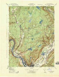
1943 · Port Jervis North
USGS Topo · 1:31,680