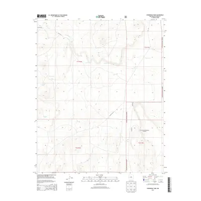
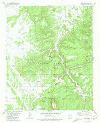
2013 Map of Ponderosa Tank
USGS Topo · Published 2013About this map
Apache National Forest lands dominate this high-altitude landscape in Catron County, defined by a network of seasonal water sources and ranching infrastructure. The drainage of Agua Fria Cr cuts across the northern half of the quadrangle, serving as a primary topographic feature alongside several named stock tanks. These water points, including Ponderosa Tank, Antelope Tank, and Year Long Tank, indicate the critical importance of water management in this arid southwestern environment. The presence of routes like Box Lake Rd and Demetrio Creek Rd provides access through the forest boundaries. This survey highlights the intersection of public land management and the rugged geography of the Gila region, where township and range lines like t1s r18w and t1s r17w partition the wilderness into navigable sectors.
Find a feature on this map
12 named features on this map. Tap any name to fly to it.
Don’t see what you’re looking for? This feature index may not catch every label — zoom into the map to look around manually.
Map Details
Editions of this 2013 Ponderosa Tank Map
This is the sole edition of this map. No revisions or reprints were ever made.
Other maps of this area

1954 · Saint Johns
USGS Topo · 1:250,000

1955 · Red Hill
USGS Topo · 1:24,000

1957 · Saint Johns
USGS Topo · 1:250,000

1958 · Saint Johns
USGS Topo · 1:250,000

1962 · Saint Johns
USGS Topo · 1:250,000
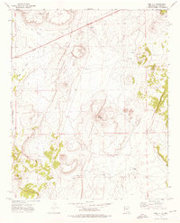
1972 · Red Hill
USGS Topo · 1:24,000

1972 · Blaines Lake
USGS Topo · 1:24,000
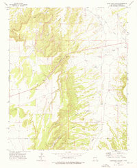
1972 · Armstrong Canyon
USGS Topo · 1:24,000
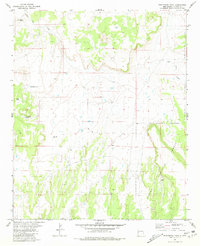
1981 · Ponderosa Tank
USGS Topo · 1:24,000
1981 · Largo Mesa
USGS Topo · 1:24,000