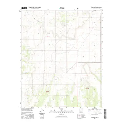
2017 Map of Ponderosa Tank
USGS Topo · Published 2017About this map
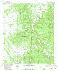
Agua Fria Cr winds through this high-altitude landscape in Catron County, where water management is the primary driver of development. The land is largely defined by the presence of the Apache National Forest, which covers the southern portion of the quadrangle. Scattered throughout the terrain are essential livestock or wildlife watering points such as Ponderosa Tank, Antelope Tank, and the descriptively named Year-long Tank. The transportation network is sparse, consisting mainly of forest and county routes including Box Lake Rd and Demetrio Cr Rd. This survey captures the intersection of public land management and the practical infrastructure required for ranching and resource conservation in the American Southwest.
Find a feature on this map
12 named features on this map. Tap any name to fly to it.
Don’t see what you’re looking for? This feature index may not catch every label — zoom into the map to look around manually.
Map Details
Editions of this 2017 Ponderosa Tank Map
This is the sole edition of this map. No revisions or reprints were ever made.
Other maps of this area

1954 · Saint Johns
USGS Topo · 1:250,000

1955 · Red Hill
USGS Topo · 1:24,000

1957 · Saint Johns
USGS Topo · 1:250,000

1958 · Saint Johns
USGS Topo · 1:250,000

1962 · Saint Johns
USGS Topo · 1:250,000
1972 · Red Hill
USGS Topo · 1:24,000

1972 · Blaines Lake
USGS Topo · 1:24,000
1972 · Armstrong Canyon
USGS Topo · 1:24,000
1981 · Ponderosa Tank
USGS Topo · 1:24,000
1981 · Largo Mesa
USGS Topo · 1:24,000